TorontoOntario · 36 tours
 Niagara FallsOntario · 25 tours
 New York CityNew York · 30 tours
 Las VegasNevada · 8 tours
 San FranciscoCalifornia · 16 tours
 VancouverBritish Columbia · 17 tours
 DubaiUAE · 54 tours
 Abu DhabiUAE · 5 tours
 Buenos AiresArgentina · 23 tours
 AthensGreece · 31 tours
 AucklandNew Zealand · 38 tours
 CancunMexico · 54 tours
No destinations match “”. Try searching all tours instead — that search understands full questions, not just place names.
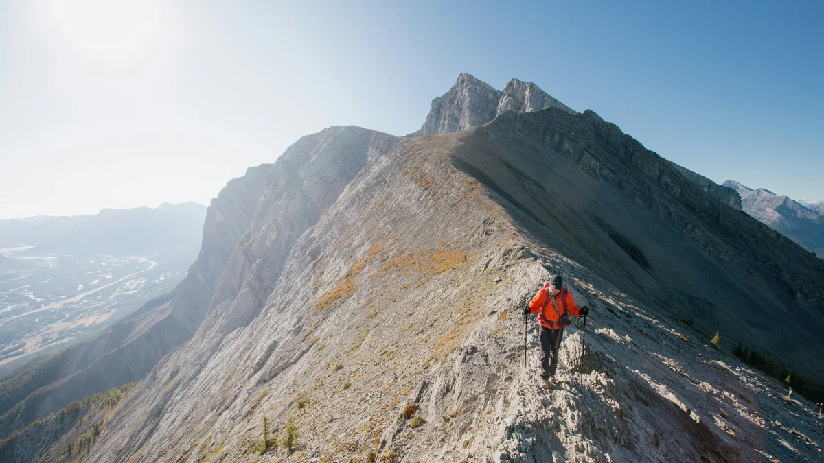
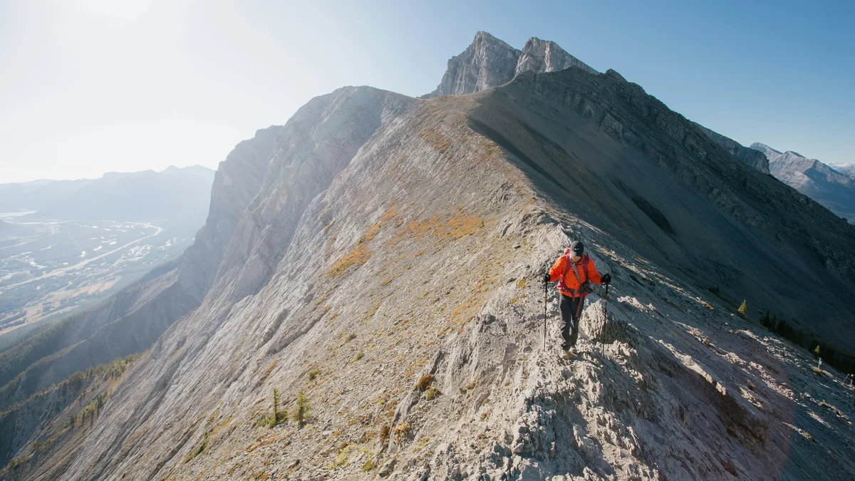
One of the most popular — and most demanding — day hikes right at Canmore's doorstep, climbing roughly 700 vertical metres from the Goat Creek trailhead to a summit with sweeping views over the Bow Valley, the Spray Lakes, and the town of Canmore below. The peak is named for Ha Ling, a Chinese cook who reputedly made the first recorded ascent in 1896 on a bet.
Visitor guide
Ha Ling Peak is a summit of about 2,407 metres (7,897 feet) by Wikipedia's figure, though Alberta Parks' trail map labels it 2,474 metres, just south of Canmore, Alberta, at the northwestern end of the Ehagay Nakoda range. Its steep trail from Goat Creek is one of the Bow Valley's best-known day hikes, and the peak carries one of the region's best-known stories: a cook's wager in 1896. Alberta Parks maintains the trail as part of Kananaskis Country.
Locals originally called the mountain the Beehive. Wikipedia reports that Ha Ling, a Chinese cook, accepted a $50 bet that he could not climb the peak and plant a flag in under 10 hours. It cites the Medicine Hat News of October 22, 1896, saying he set out at 7 a.m. and was back for lunch. When doubters questioned him, he reportedly led them up and planted a larger flag. Details of the story, including his employer, vary by account and should be read as local tradition as much as documented history.
The mountain then became known as Chinaman's Peak, a name that became official in 1980. Because the term is viewed as derogatory, it was changed to Ha Ling Peak. Sources disagree on the date: Wikipedia describes the renaming as 1997 while citing a July 1998 news brief, so it was in the late 1990s. A 2018 CBC documentary covered the controversy.
Alberta Parks describes a trail from the Goat Creek day-use area that is maintained for 3.5 kilometres to the saddle, with the final stretch to the summit about 400 metres and 103 metres of elevation on an unmaintained trail through loose, rocky terrain. Its total distance to the summit is 3.9 kilometres one-way, as listed in the Alberta Parks trail report. Published elevation gains vary by source, from about 700 to 825 metres, so treat any single figure as approximate.
The trail is steep and exposed in places. Snow and ice can linger high on the mountain well into the season, and Alberta Parks has reported mud lower down in spring. A Kananaskis Conservation Pass is required to park. The Goat Creek trailhead was reported to have reopened in February 2023, but check Alberta Parks for current access, since the Bow Valley has had trail and parking changes.
The easiest route to the top is a south-side walk-up, which Wikipedia calls an easy scramble, while the north side holds technical routes and a difficult scramble up Canmore Couloir. Rockfall on the north face has been reported by climbing sites, but none could be tied to a confirmed date here, so we state only that loose rock is a known hazard on the steeper faces.
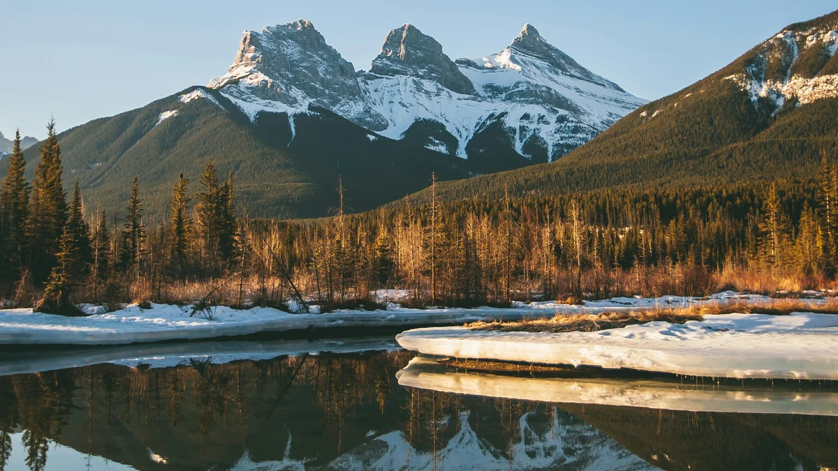
The summit looks north over Canmore and the Bow Valley, with the Three Sisters and Mount Rundle nearby. The view makes the effort worthwhile on a clear day, but weather in the Rockies changes quickly.
See every tour and attraction we cover in Canmore.