TorontoOntario · 36 tours
 Niagara FallsOntario · 25 tours
 New York CityNew York · 30 tours
 Las VegasNevada · 8 tours
 San FranciscoCalifornia · 16 tours
 VancouverBritish Columbia · 17 tours
 DubaiUAE · 54 tours
 Abu DhabiUAE · 5 tours
 Buenos AiresArgentina · 23 tours
 AthensGreece · 31 tours
 AucklandNew Zealand · 38 tours
 CancunMexico · 54 tours
No destinations match “”. Try searching all tours instead — that search understands full questions, not just place names.
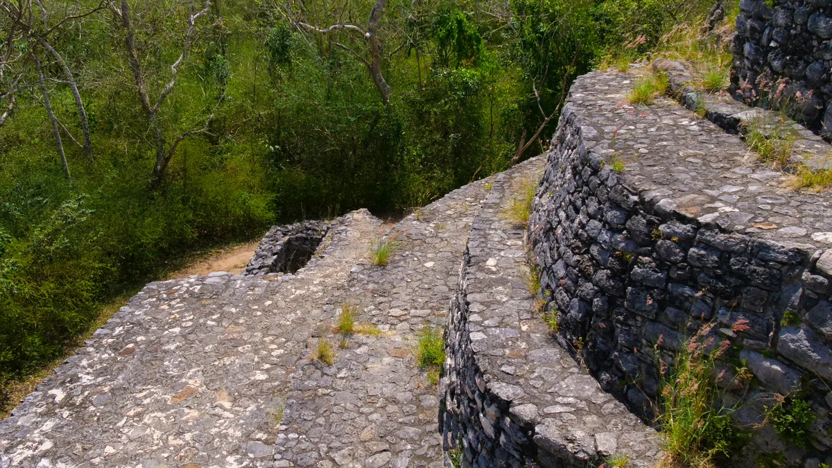
A real ancient Maya city deep in the jungle inland from Tulum, once connected by an extensive network of real raised stone roads, or sacbeob, to other Maya centers across the Yucatán. Its Nohoch Mul pyramid, at roughly 42 meters, is genuinely one of the tallest Maya structures in the region.
 Private Tours
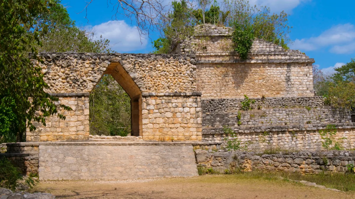
A private tour for your group only to the genuine Coba archaeological site, once an important Maya trade zone, with the option to climb one of the region's tallest pyramids.
 Private Tours
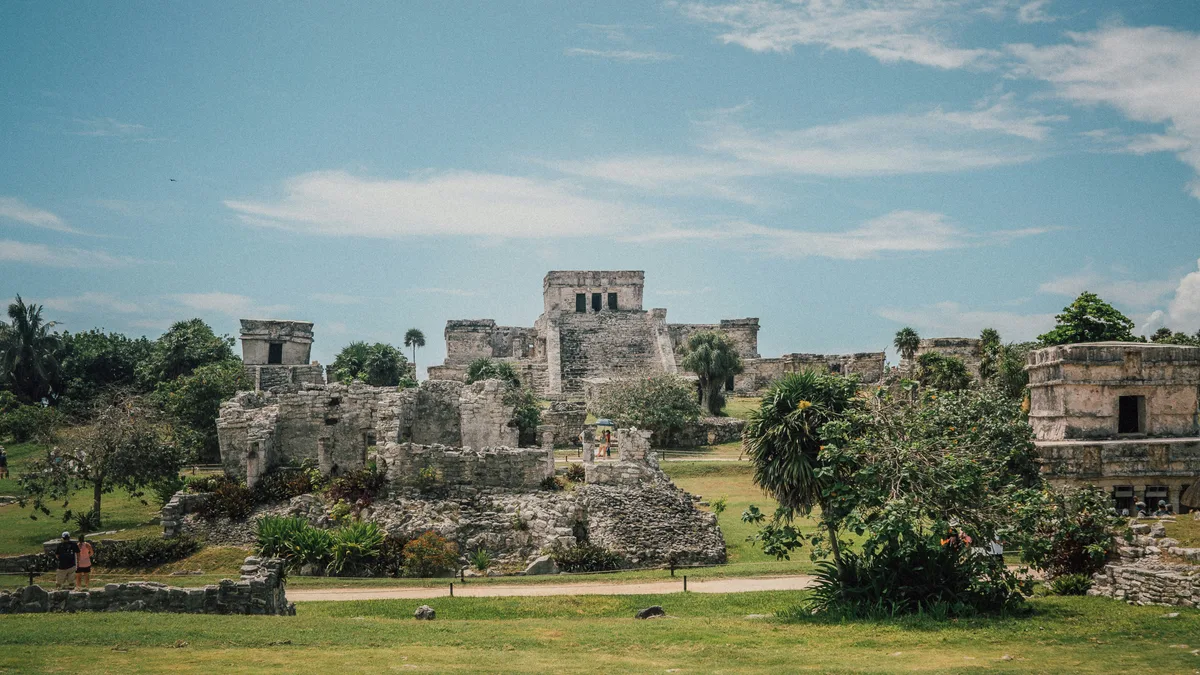
A private tour for your group only in a private vehicle, visiting Coba and Tulum without waiting to pick up other guests, with time to climb the Coba pyramid and explore by bicycle or taxi trike.
Visitor guide
Coba is a pre-Columbian Maya site in the northeastern Yucatan Peninsula, in Quintana Roo, Mexico, about 47 kilometres northwest of Tulum. It was once a large city built around lagoons and linked by an extensive network of raised stone roads called sacbeob.
The site sits around two lagoons, Lake Coba and Lake Macanxoc. Archaeological evidence shows settlement began between 50 BC and AD 100, after which the population grew substantially. Between AD 201 and 601 Coba likely dominated a large area of northern Quintana Roo and eastern Yucatan, and most major construction took place in the Classic period, about AD 500 to 900. Wikipedia puts the peak population at about 50,000 or possibly more, spread over some 80 square kilometres.
Coba is the hub of the largest network of stone causeways in the ancient Maya world. Sacbeob are raised, stone-lined roads, from about 2 to 10 metres wide, that connect much of the site. The longest runs west to Yaxuna, and the sources give its length as either almost or over 100 kilometres.
The tallest pyramid at Coba, Ixmoja, commonly known as Nohoch Mul, stands about 42 metres high, with a carving of the Descending or Diving God at its top. Wikipedia notes that Calakmul, at 45 metres, is taller. The site has two ball courts, one in the Navarrete Group and one in the Coba Group near the entrance.
Many engraved stelae record ceremonial life and important events of the Late Classic period, and women appear as authority figures in many scenes. In 2020 researchers identified the names of fourteen leaders who ruled Coba between AD 500 and 780, including a woman named Yopaat. The Macanxoc Group has eight stelae and numerous altars.
After about AD 600 the rise of Puuc city-states and Chichen Itza eroded Coba's dominance, and from about AD 900 or 1000 it fought a long power struggle with Chichen Itza. After 1000 Coba lost most of its political influence but kept symbolic and religious importance. Trade and power shifted to the coast, and the city had been abandoned by the time the Spanish conquered the peninsula.
John Lloyd Stephens first mentioned Coba in print in 1843. Thomas Gann was guided to the site by local Maya hunters in February 1926 and published the first firsthand description, and the Carnegie Institution sent expeditions soon afterwards. Excavations by Mexico's INAH began in 1972 under Carlos Navarrete, followed by a three-year Project Coba from 1974. Only a small portion of the site has been cleared and restored.
The ruins lie in forest inland from the coast, and the site is often visited as a day trip from Tulum or the Riviera Maya. A private tour with a driver and guide suits the distances involved between structures and the setting.
See every tour and attraction we cover in Tulum.