TorontoOntario · 36 tours
 Niagara FallsOntario · 25 tours
 New York CityNew York · 30 tours
 Las VegasNevada · 8 tours
 San FranciscoCalifornia · 16 tours
 VancouverBritish Columbia · 17 tours
 DubaiUAE · 54 tours
 Abu DhabiUAE · 5 tours
 Buenos AiresArgentina · 23 tours
 AthensGreece · 31 tours
 AucklandNew Zealand · 38 tours
 CancunMexico · 54 tours
No destinations match “”. Try searching all tours instead — that search understands full questions, not just place names.
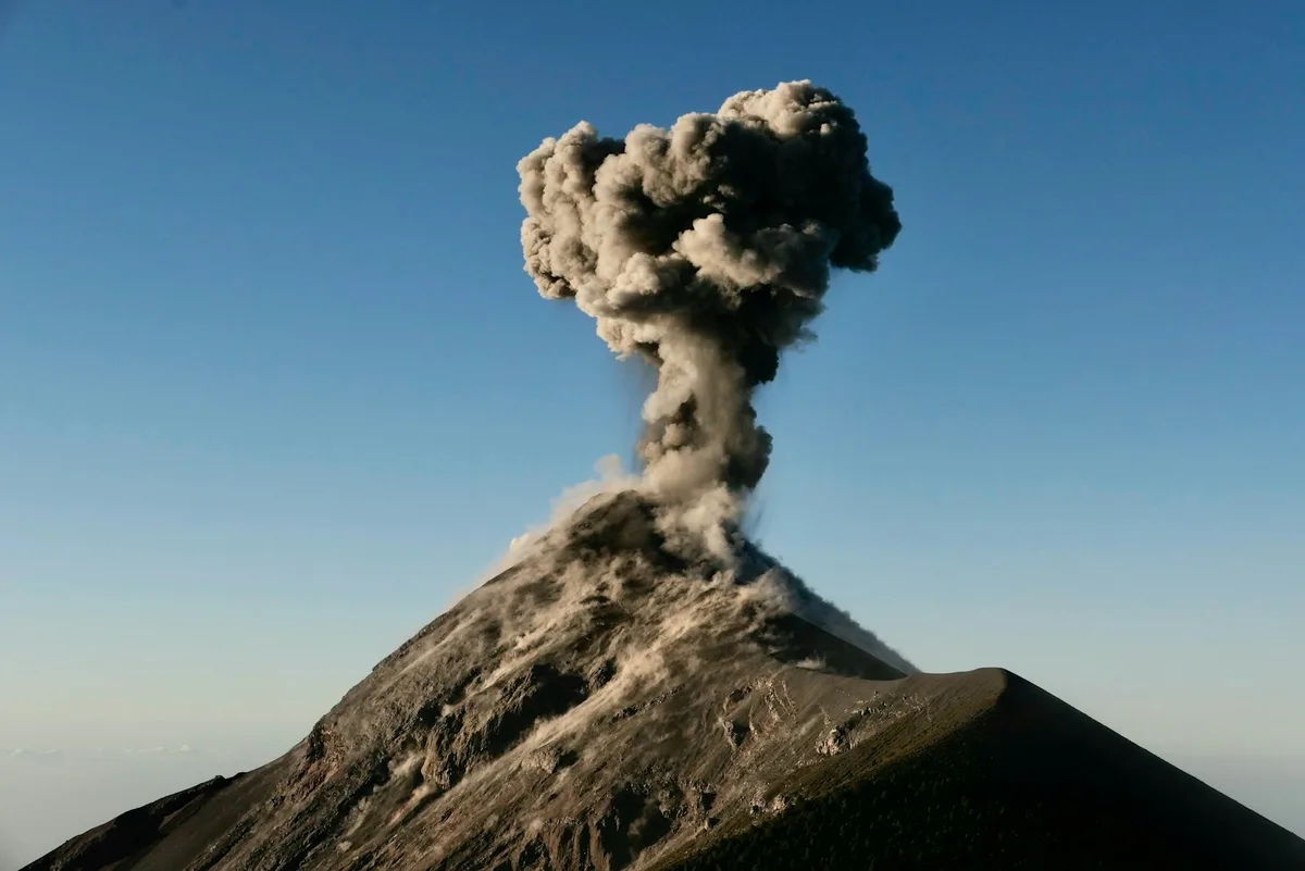
A 3,976-meter volcano near Antigua, climbed overnight by trekkers who camp partway up for the view of neighboring Fuego volcano erupting after dark.
 Multi-Day Tours
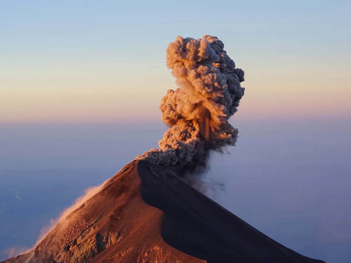
A 10-day private journey through Lake Atitlan's Mayan villages and colonial Antigua, building to an overnight camping ascent of Acatenango volcano to watch Fuego erupt, before finishing among the ancient temples of Tikal.
 Multi-Day Tours
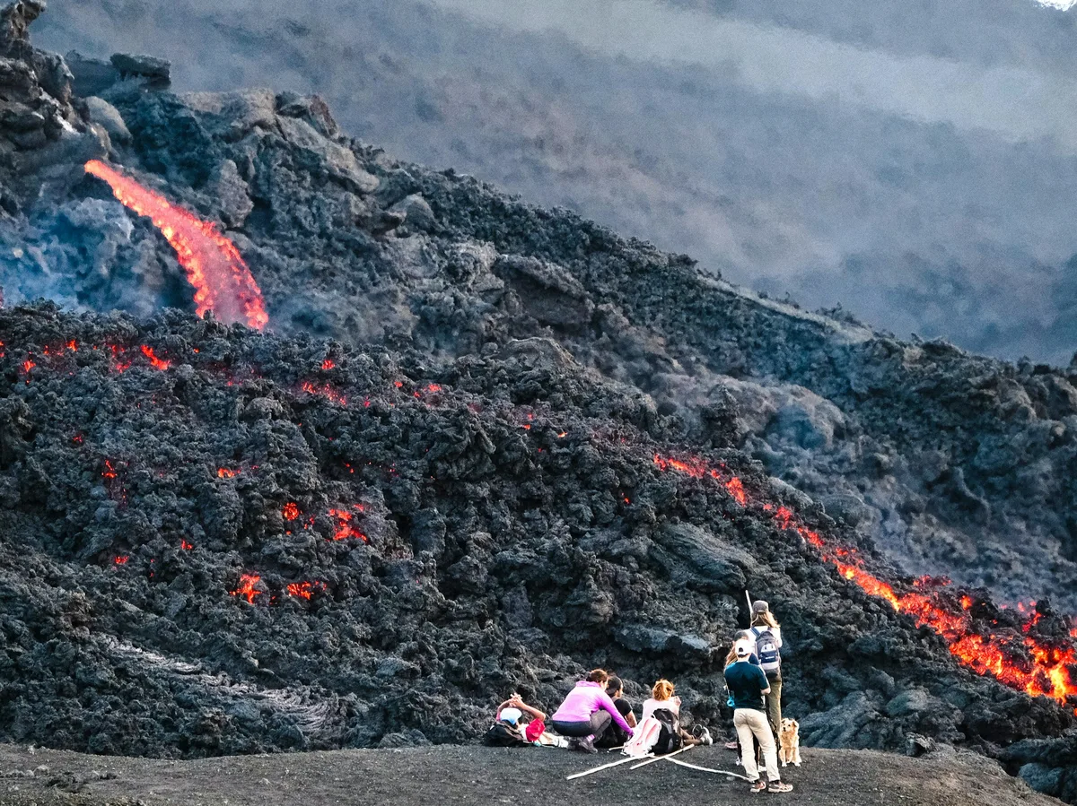
A 6-day private trip for volcano enthusiasts — a hike up active Pacaya to roast marshmallows over volcanic heat, Mayan villages on Lake Atitlan, and an overnight camping ascent of Acatenango to watch Fuego erupt after dark.
Visitor guide
Acatenango is a stratovolcano in the Sierra Madre of Guatemala, close to the colonial city of Antigua, and its summit stands at 3,976 metres above sea level. It is joined to the neighbouring Volcan de Fuego, and together the two form one of the most recognisable volcanic skylines in Central America.
According to Wikipedia, Acatenango has two peaks. Pico Mayor is the highest, at 3,976 metres, and Yepocapa, also called Tres Hermanas or the Three Sisters, reaches about 3,880 metres. The volcano has a topographic prominence of roughly 1,835 metres and rises more than 3,500 metres above the Pacific coastal plain to the south and about 2,000 metres above the Guatemalan Highlands to the north.
The Fuego-Acatenango massif is a north-south chain of five or more volcanic vents. From north to south these are Ancient Acatenango, Yepocapa, Pico Mayor, Meseta and Fuego. The combined complex is known as La Horqueta. Geologists note that past collapses of the massif produced large debris avalanches, the largest of which extended more than 50 kilometres and covered over 300 square kilometres.
Acatenango's historical record is short. The only known historical eruptions took place in 1924 to 1927, from a vent just north of Pico Mayor, and from November to December 1972, from the saddle between Yepocapa and Pico Mayor. Both were phreatic, or steam-driven, explosions that threw volcanic bombs near the summit craters and dropped fine ash as far as 25 kilometres away. Prehistoric explosive eruptions are dated to about 1,900 and 2,300 years ago at Pico Mayor and about 5,000 years ago at Yepocapa, and vents along the massif have erupted many times over the past 80,000 years.
By contrast, its neighbour Fuego is among the most persistently active volcanoes in Central America, and the contrast between a dormant summit and an erupting neighbour is what gives Acatenango its reputation as a viewing platform.
Wikipedia calls climbing Acatenango one of Guatemala's most notable tourist attractions. Outfitters have built base camps with cabins on the mountain so that hikers can spend the night and watch Fuego's eruptions from across the saddle, especially after dark when glowing material is easiest to see. The route is a demanding ascent through changing vegetation zones, and temperatures near the top can drop sharply overnight, so warm clothing is important. Weather can hide the view, and Fuego's activity varies from day to day, so what is visible cannot be guaranteed.
Because the hike is strenuous and conditions at altitude can change quickly, it is generally done with local guides, and a private tour can arrange transport to and from Antigua around the trek.
The Acatenango Valley is one of the coffee-producing regions recognised by Anacafe, Guatemala's coffee association. The same volcanic soils that make the slopes fertile also shape the landscape that hikers pass through on the lower flanks. Looking down from the saddle, hikers can also see the valley of Antigua and, on clear mornings, other peaks of the Central American volcanic arc.
See every tour and attraction we cover in Guatemala.