TorontoOntario · 36 tours
 Niagara FallsOntario · 25 tours
 New York CityNew York · 30 tours
 Las VegasNevada · 8 tours
 San FranciscoCalifornia · 16 tours
 VancouverBritish Columbia · 17 tours
 DubaiUAE · 54 tours
 Abu DhabiUAE · 5 tours
 Buenos AiresArgentina · 23 tours
 AthensGreece · 31 tours
 AucklandNew Zealand · 38 tours
 CancunMexico · 54 tours
No destinations match “”. Try searching all tours instead — that search understands full questions, not just place names.
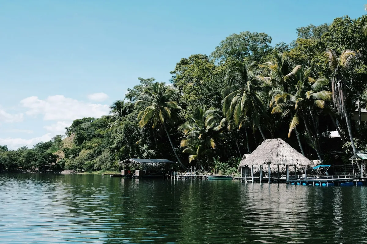
A jungle-lined river connecting Lake Izabal to the Caribbean coast at Livingston, navigated by boat past the Castillo de San Felipe fortress and hot springs along its banks.
 Multi-Day Tours
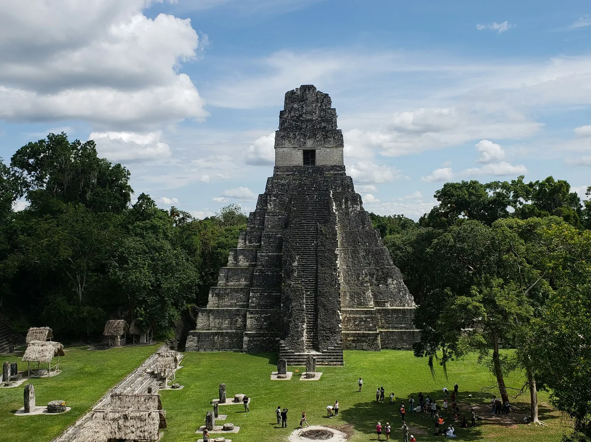
A 13-day private circuit through Guatemala's colonial towns, volcanoes, and Mayan ruins — Antigua, Lake Atitlan, Chichicastenango, Rio Dulce, and Tikal — with a one-night detour across the border to the Copan ruins in Honduras.
 Multi-Day Tours
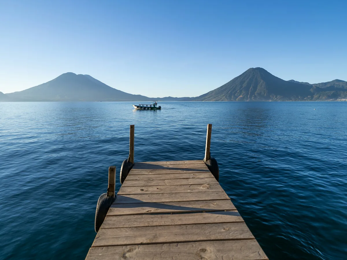
A 12-day private family itinerary through Guatemala — a chocolate workshop in Antigua, a hike up Pacaya volcano, boat trips on Lake Atitlan, a swim in the Crater Azul cenote, Tikal's jungle canopy zipline, and a private cruise along the Rio Dulce.
 Multi-Day Tours
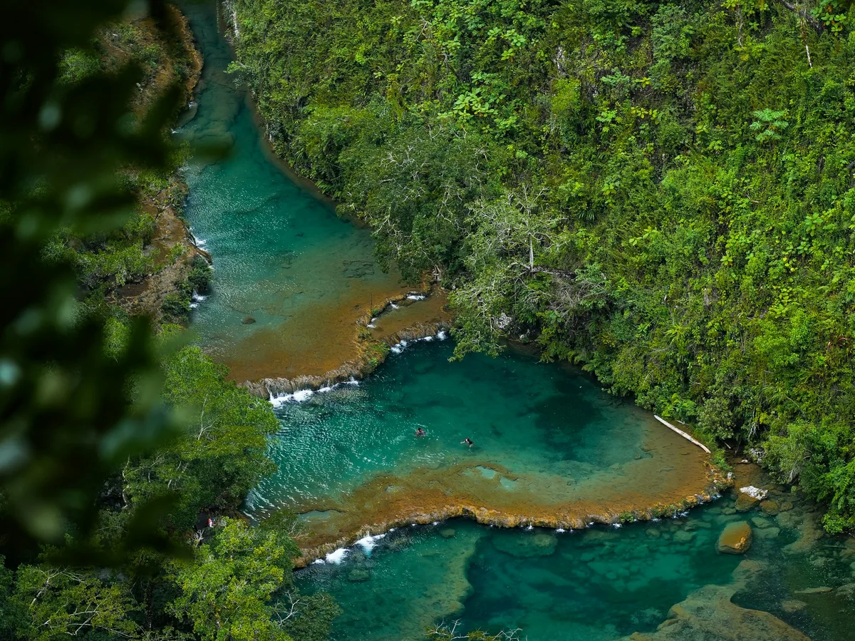
A 10-day private nature-focused route through Guatemala — the cloud forests of Biotopo del Quetzal, the Crater Azul cenote, Tikal and Quirigua's ruins, the Rio Dulce, Garifuna Livingston, and the Mayan villages of Lake Atitlan.
 Multi-Day Tours
A 13-day private luxury circuit through Guatemala — Antigua and Lake Atitlan, the turquoise pools of Semuc Champey, the Candelaria Caves, the jungle fortress of Aguateca, Tikal, and a two-night eco-lodge stay on the Rio Dulce.
Visitor guide
The Rio Dulce, Spanish for 'Sweet River', is a short river in the Izabal department of eastern Guatemala that links Lake Izabal with the Caribbean Sea near the Garifuna town of Livingston. Its gorge, wildlife and colonial fort make it one of Guatemala's best-known boat journeys.
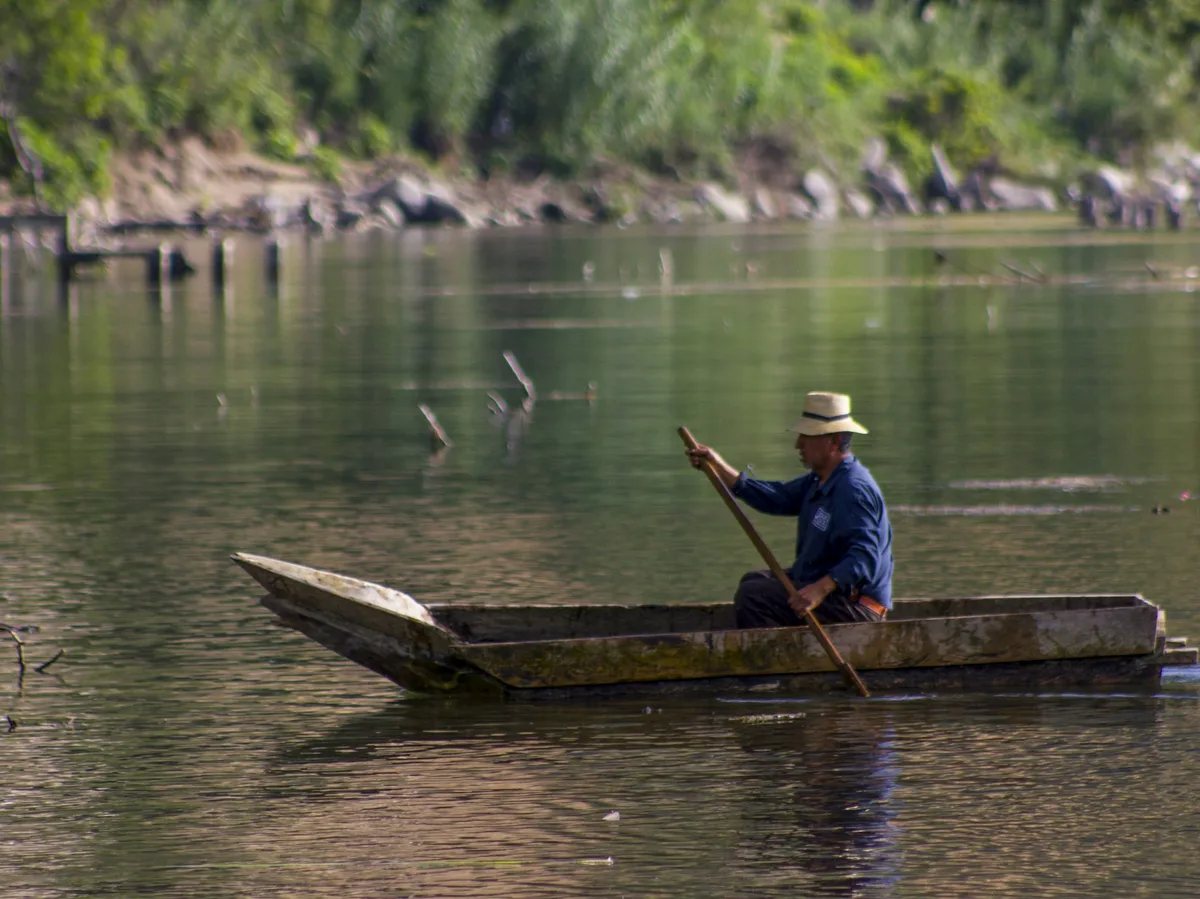
Wikipedia gives the river's length as about 43 kilometres, all within Izabal. It begins where it flows out of Lake Izabal at roughly 88 metres above sea level and reaches the Caribbean at sea level. Just after leaving the lake it passes under a large bridge near the commercial town of Fronteras, which is commonly called Rio Dulce itself. Fronteras has a vegetable market that draws people by dugout canoe, and the area is home to many marinas and resorts.
Below Fronteras the river runs east for a few kilometres and then opens into El Golfete, a long, narrow lake about 16 kilometres long and a few kilometres wide. It has a large natural anchorage and a few houses and small businesses along its shores. The brackish water and submerged vegetation in El Golfete provide a refuge for the West Indian manatee.
From El Golfete the river winds for about 10 kilometres through a gorge. Its walls rise up to roughly 90 metres and are covered in forest that includes teak, mahogany and palms. Howler monkeys and toucans are among the animals present, and after rain waterfalls spill over the rim. Rio Dulce National Park, covering about 130 square kilometres along the river and El Golfete, protects much of this landscape and is managed by CONAP.
A small Spanish colonial fort guards the entrance to Lake Izabal at the narrowest point of the river. According to Wikipedia, it was built to protect the port of San Antonio de las Bodegas from frequent attacks by pirates, mostly English. A large chain was stretched from the fort to the far bank after nightfall to block passage into the lake.
The fort was first built in 1644 under Diego de Avendano and originally called Fuerte Bustamante. It was rebuilt in 1651 and redesigned between 1687 and 1689 in the style of Vauban, with three bastions operating by 1697. In 1797 an engineer added three artillery batteries and two barracks, and the garrison then numbered 36 infantry. The fort was destroyed and looted several times by pirates, was damaged by an earthquake on 11 July 1999, and was added to Guatemala's UNESCO Tentative List in 2002.
The river's mouth lies near Livingston, a Garifuna town reached by water. The lake and river system is also a popular destination for cruising sailboats. Travelling the river by boat, as most visitors do, shows the shift from the commercial bustle of Fronteras to quiet jungle banks and then the Caribbean coast, and a private tour allows the stops at the fort and the gorge to be taken at an unhurried pace.
See every tour and attraction we cover in Guatemala.