TorontoOntario · 36 tours
 Niagara FallsOntario · 25 tours
 New York CityNew York · 30 tours
 Las VegasNevada · 8 tours
 San FranciscoCalifornia · 16 tours
 VancouverBritish Columbia · 17 tours
 DubaiUAE · 54 tours
 Abu DhabiUAE · 5 tours
 Buenos AiresArgentina · 23 tours
 AthensGreece · 31 tours
 AucklandNew Zealand · 38 tours
 CancunMexico · 54 tours
No destinations match “”. Try searching all tours instead — that search understands full questions, not just place names.
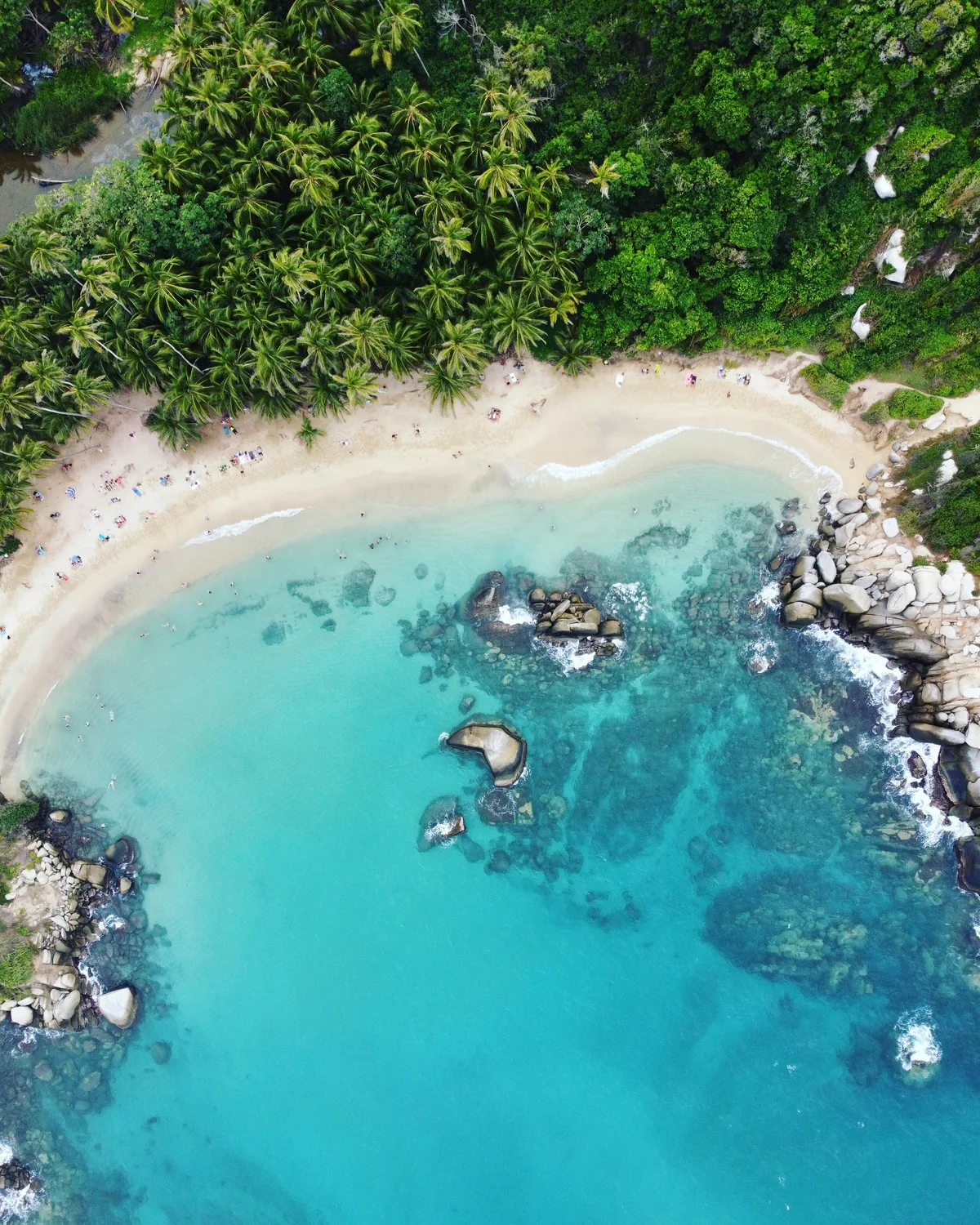
Colombia's oldest surviving Spanish-founded city and the main gateway to Tayrona National Park, with its own laid-back beaches and views up toward the snow-capped Sierra Nevada de Santa Marta, the world's highest coastal mountain range.
Visitor guide
Santa Marta is a port city on Colombia's northern Caribbean coast, set on a bay at the foot of the Sierra Nevada de Santa Marta mountains. Founded in 1525, it is the capital of Magdalena Department and the main gateway to Tayrona National Natural Park and the Lost City trek.
According to Wikipedia, Santa Marta was founded on 29 July 1525 by the Spanish conquistador Rodrigo de Bastidas, which makes it one of the earliest Spanish settlements in Colombia and generally described as the country's oldest surviving city. It sits on a bay of the same name, 93 km from Barranquilla, and is the fourth-largest urban centre of the Caribbean region of Colombia.
Before the Spanish arrived, the surrounding coast and mountains were home to the Tairona, who built stone pathways, terraces and irrigation channels, farmed maize, yuca and pineapple, and traded salt along the coast. Wikipedia notes that our understanding of them is limited because many records were destroyed or misrepresented by the conquistadors.
The geography is the draw. The Sierra Nevada de Santa Marta reaches about 5,700 metres only 42 km from the coast, and is described as the highest coastal mountain range in the tropics. It is an isolated range, separate from the main Andes, and its snow-capped peaks are part of the city's identity, since the blue on the city flag is said to represent the sky, the sea and the snowy mountains.
The climate is tropical, with fairly uniform temperatures year-round. Wikipedia gives a dry season from December to April and a wetter season from May to November, though conditions on any given day vary.
Santa Marta is also known across Latin America as the place where Simon Bolivar died. The liberator spent his final weeks here and died of tuberculosis on 17 December 1830 at the Quinta de San Pedro Alejandrino, a hacienda just outside the centre. He was first buried in the cathedral of Santa Marta, before his remains were later moved to Caracas. The cathedral basilica, which Wikipedia describes as one of the oldest structures in the city, dates to the eighteenth century.
Tourism is the backbone of the local economy, followed by trade, port activity, fishing and agriculture, with bananas, coffee, mango and cocoa among the main crops. Beyond the city, the coastline includes the resort district of El Rodadero, which is considered part of Santa Marta itself, the fishing village of Taganga to the south, and Tayrona National Natural Park about 34 km from the centre, with its forested headlands and beaches. Bays, hills and small inlets alternate along the shore.
Santa Marta pairs well with a private tour that links the historic centre, a beach stop and a mountain town such as Minca, because a driver can take care of the winding roads in between. Shaded clothing, water and sun protection are sensible in the heat.
See every tour and attraction we cover in Colombia.