TorontoOntario · 36 tours
 Niagara FallsOntario · 25 tours
 New York CityNew York · 30 tours
 Las VegasNevada · 8 tours
 San FranciscoCalifornia · 16 tours
 VancouverBritish Columbia · 17 tours
 DubaiUAE · 54 tours
 Abu DhabiUAE · 5 tours
 Buenos AiresArgentina · 23 tours
 AthensGreece · 31 tours
 AucklandNew Zealand · 38 tours
 CancunMexico · 54 tours
No destinations match “”. Try searching all tours instead — that search understands full questions, not just place names.
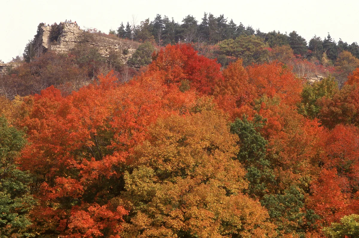
A UNESCO biosphere reserve and long limestone ridge running from Niagara Falls to Tobermory, with Blue Mountain — Ontario's highest ski hill — built on one of its highest points.
Visitor guide
The Niagara Escarpment is an arc-shaped ridge, or cuesta, about 1,050 km long, running through New York, Ontario, Michigan and Wisconsin. Roughly 725 km of it lies in Ontario, from Queenston on the Niagara River through Hamilton and the Blue Mountain area to Tobermory on the Bruce Peninsula. UNESCO designated it a World Biosphere Reserve in 1990.
The escarpment is not a fault. The rock layers show no displacement. It formed through uneven erosion: a resistant dolostone caprock of the Silurian-age Lockport Formation sits over softer shale, which wears away faster and leaves a cliff behind. The Michigan Basin behind the ridge was once the floor of a tropical sea, so the escarpment is, in effect, an old shoreline. Niagara Falls spills over the same escarpment, with the Niagara River cutting its gorge through it.
People have used the escarpment as a barrier and a landmark. The Welland Canal lets ships climb it between Lake Erie and Lake Ontario, and the Erie Canal's locks crossed it at Lockport, New York. In Hamilton, locals call the ridge the Mountain, and incline railways carried people up and down it, the first opening in 1892 and the last closing in 1936. Further north, Blue Mountain, a promontory near Collingwood, is known for skiing and its Scenic Caves. The slopes also support the Niagara Peninsula's vineyards.
Ontario was early to protect the ridge by law. The Niagara Escarpment Planning and Development Act was passed on 22 June 1973 and set up the Niagara Escarpment Commission, and the Niagara Escarpment Plan was approved on 12 June 1985. The Commission describes the plan area as about 195,000 hectares. The Commission says the plan area takes in portions of 23 local municipalities within seven regions and counties, plus the City of Hamilton.
Wikipedia describes the cliffs as holding the oldest forest ecosystem in eastern North America. Ontario's oldest known tree is reported to be an eastern white cedar dating to 688 AD, growing on the cliffs, although tree-ring dating claims are best read with care. The cliffs, wetlands, caves and varied microclimates shelter a long list of plants and animals, and the ridge links protected areas such as Bruce Peninsula National Park and Mono Cliffs Provincial Park.
The Bruce Trail follows the escarpment from Queenston to Tobermory. The main trail is about 885 to 890 km, with side trails adding several hundred more, and sources describe it as Canada's oldest and longest marked hiking trail. The idea came in 1959 from Ray Lowes, who first shared it with Robert Bateman at a Federation of Ontario Naturalists meeting, and the first committee met in September 1960, and the Tobermory cairn was unveiled in 1967 for Canada's Centennial. The Bruce Trail Conservancy, based in Dundas, maintains it with volunteers, and about half of it crosses public land, while the rest relies on landowner agreements that can be withdrawn.
For first-time visitors, easy ways to meet the escarpment include the lookouts and parks near Blue Mountain and Collingwood, the Hamilton and Niagara viewpoints, and short sections of the Bruce Trail. Trail conditions, parking and access change with the season, so check the Bruce Trail Conservancy, the conservation authority or Ontario Parks for current hours, tickets and access.
Voyzo's private tours use a private vehicle and driver with door-to-door pickup, so a group can see the escarpment from Niagara through to Georgian Bay without worrying about trail shuttles or parking.
See every tour and attraction we cover in Blue Mountain.