TorontoOntario · 36 tours
 Niagara FallsOntario · 25 tours
 New York CityNew York · 30 tours
 Las VegasNevada · 8 tours
 San FranciscoCalifornia · 16 tours
 VancouverBritish Columbia · 17 tours
 DubaiUAE · 54 tours
 Abu DhabiUAE · 5 tours
 Buenos AiresArgentina · 23 tours
 AthensGreece · 31 tours
 AucklandNew Zealand · 38 tours
 CancunMexico · 54 tours
No destinations match “”. Try searching all tours instead — that search understands full questions, not just place names.
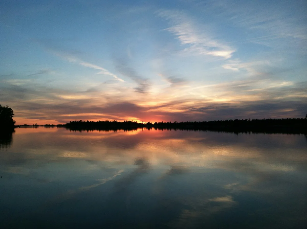
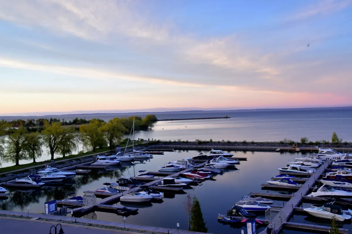
The eastern arm of Lake Huron, part of a UNESCO-designated biosphere reserve, with the shoreline near Collingwood and Blue Mountain offering some of the most scenic Great Lakes views in Ontario.
Visitor guide
Georgian Bay is the large northeastern arm of Lake Huron, lying entirely within Ontario. Wikipedia gives its size as about 190 km long and 80 km wide, covering roughly 15,000 square kilometres, and its narrow connection to Huron leads some people to call it the sixth Great Lake. Its eastern shore is a maze of granite islands, and its southern shore is a long run of beaches and escarpment cliffs.
The eastern and northern shores sit on the Canadian Shield, where glaciers scraped the pink and grey bedrock smooth. This is the landscape of windswept white pines that inspired Group of Seven painters. The western side of the bay runs along the Niagara Escarpment, which continues north as the Bruce Peninsula, and Manitoulin Island, often described as the world's largest island in a freshwater lake, marks the bay's northern edge. The Trent-Severn Waterway links Georgian Bay to Lake Ontario, and the French River drains Lake Nipissing into the north end.
The bay has more than 30,000 islands, widely known as the Thirty Thousand Islands. The figure depends on how islands are counted, so you will see estimates from about 30,000 to over 40,000. The Georgian Bay Biosphere Reserve (now branded Georgian Bay Mnidoo Gamii Biosphere), designated by UNESCO in 2004, covers roughly 347,000 hectares of this eastern shoreline between Port Severn and the French River, a stretch of about 200 km. Sources differ slightly on the exact area (347,000 to 347,270 ha) and on the month of designation, and the reserve's boundaries are described as flexible. A non-profit organization based in Parry Sound promotes sustainability in the region.
Anishinaabeg peoples lived to the north and east of the bay, and Huron-Wendat and Petun peoples to the south, and the bay was a major trade route. The Ojibwe called it Spirit Lake, and the Huron-Wendat called it Lake Attigouatan. Samuel de Champlain called it La Mer douce when he visited in 1615-16. Captain Henry Bayfield named it for King George IV in 1822. Étienne Brûlé likely reached the area around 1610, and the Jesuit mission of Sainte-Marie was built in 1639 at what is now Midland. Penetanguishene became a naval base in 1793.
The bay also holds a Wyandot legend, which should be read as legend: the god Kitchikewana is said to have created the islands and the bays of Severn Sound, and he is said to sleep on as Giant's Tomb Island.
The southern shore around Collingwood, Blue Mountain and Wasaga Beach offers beaches, waterfront trails and views toward the Niagara Escarpment. The eastern shore around Parry Sound is where boat tours reach the islands. Specific tours, national and provincial park access and ferry services are run by their respective operators, and you should check Parks Canada, Ontario Parks and the operators for current hours, tickets and access.
A Georgian Bay day suits a private tour well. Voyzo's private tours use a private vehicle and driver with door-to-door pickup, so a group can move between Wasaga Beach, Collingwood and the escarpment at its own pace without anyone behind the wheel.
See every tour and attraction we cover in Blue Mountain.