TorontoOntario · 36 tours
 Niagara FallsOntario · 25 tours
 New York CityNew York · 30 tours
 Las VegasNevada · 8 tours
 San FranciscoCalifornia · 16 tours
 VancouverBritish Columbia · 17 tours
 DubaiUAE · 54 tours
 Abu DhabiUAE · 5 tours
 Buenos AiresArgentina · 23 tours
 AthensGreece · 31 tours
 AucklandNew Zealand · 38 tours
 CancunMexico · 54 tours
No destinations match “”. Try searching all tours instead — that search understands full questions, not just place names.
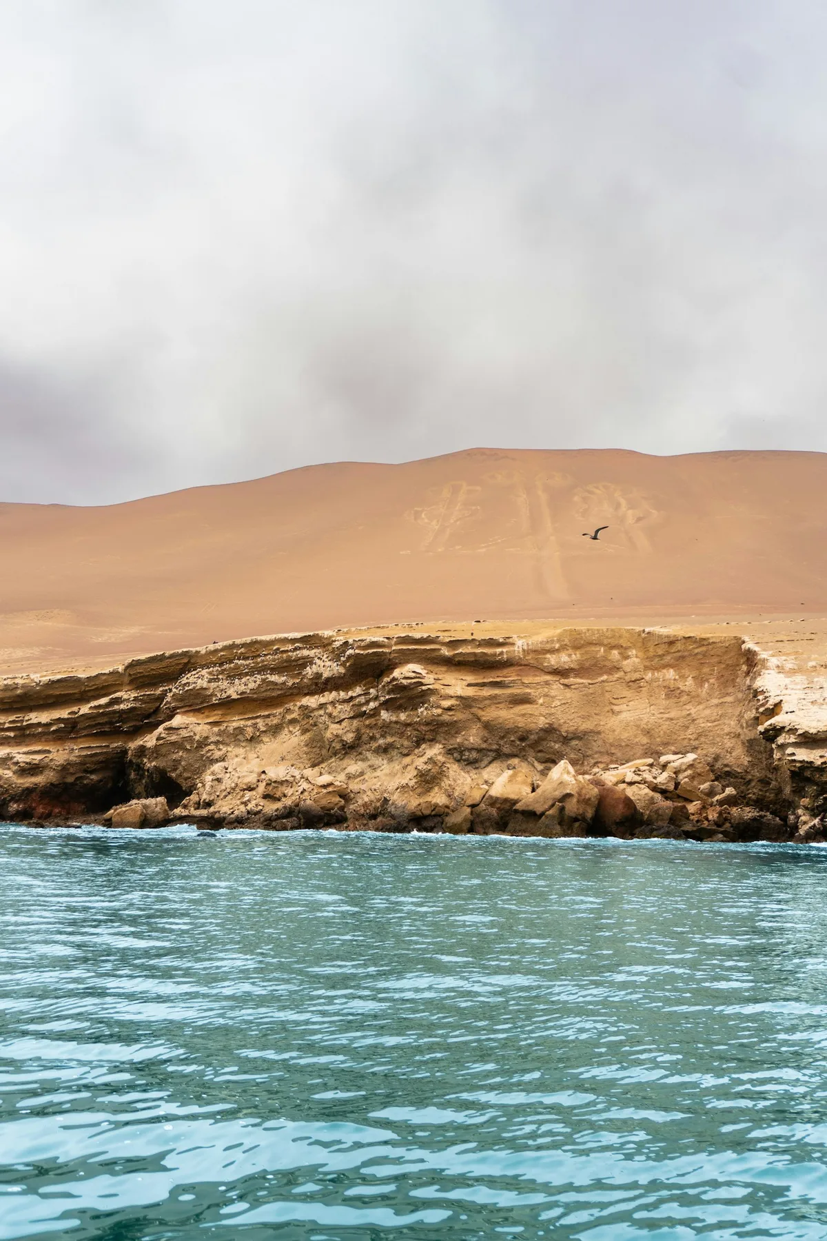
Giant geoglyphs etched into Peru's southern desert over 1,500 years ago, depicting animals, plants, and geometric shapes only fully legible from the air.
 Multi-Day Tours
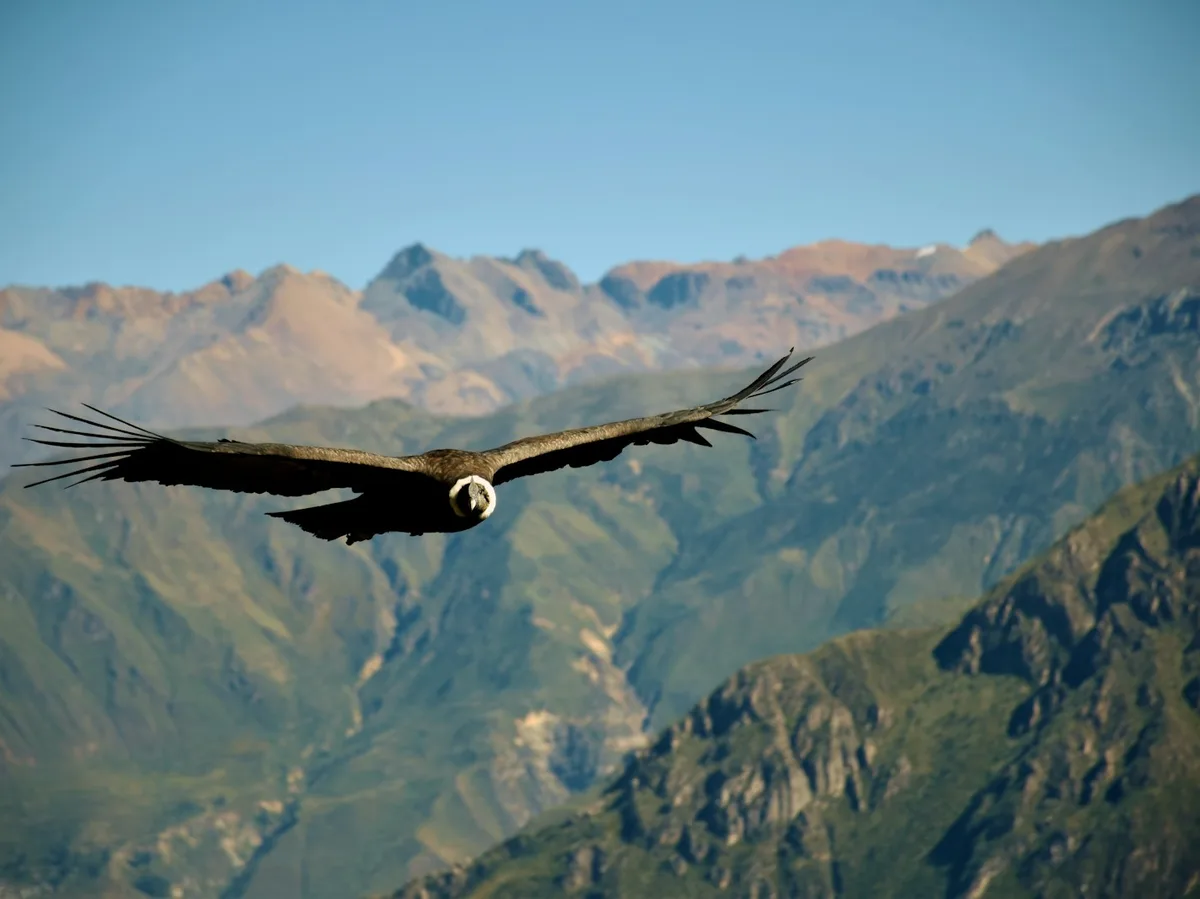
A 14-day private route from Lima down the coast to Paracas and the Nazca Lines, up to Arequipa and Colca Canyon's condors, along Lake Titicaca, and through the Sacred Valley to Machu Picchu.
 Multi-Day Tours
A 13-day route combining Cusco, the Sacred Valley and Rainbow Mountain with a 5-day Salkantay trek to Machu Picchu, then Lima, Paracas and a flight over the Nazca Lines.
Visitor guide
The Nazca Lines are a vast group of geoglyphs etched into the desert plateau of southern Peru between the towns of Nazca and Palpa, roughly 400 kilometres south of Lima. They include hundreds of lines and geometric shapes and more than 70 animal and plant figures, and they were inscribed by UNESCO in 1994 as the Lines and Geoglyphs of Nasca and Palpa.
According to Wikipedia, the geoglyphs were created between about 500 BC and 500 AD, in the Paracas and Nazca periods. Figures include a hummingbird, a spider, a monkey, a condor, a heron, a fish, a lizard and a human-like figure. Measured sizes include a hummingbird of about 93 metres, a condor of about 134 metres and a spider of 47 metres, while the largest designs reach roughly 370 metres. The combined length of the lines exceeds 1,300 kilometres.
The builders removed the reddish-brown, iron-oxide-coated pebbles that cover the desert to expose lighter subsoil beneath. This soil is rich in lime, and morning mist is said to harden it into a protective crust against wind erosion. The lines are typically 10 to 15 centimetres deep. Wooden stakes found at the ends of lines suggest simple tools and surveying, and experimental reproductions have shown that such figures can be laid out in a short time with comparable technology.
No single explanation is accepted. Paul Kosok and Maria Reiche proposed astronomical or calendar functions, though later analyses by Hawkins and Aveni found the evidence insufficient. Johan Reinhard linked the lines to the worship of water sources, and David Johnson argued some follow the paths of aquifers feeding underground aqueducts. Other researchers connect the geoglyphs to ritual walking and to the Cahuachi temple centre. Claims of ancient astronauts are rejected by scholars.
In 2018 drone surveys revealed 25 further geoglyphs in Palpa province attributed to the Paracas culture, many predating the Nazca figures by about a thousand years. The lines survive largely because of the extremely dry, stable climate, but Wikipedia records damage over the years from road building, quarrying, vehicles and encroachment, which is why access to the protected area is regulated.
Many of the figures are only fully legible from above, which is why they are commonly viewed from aircraft or from elevated viewpoints. Visitors travelling from Lima or Ica usually include the desert drive, and a private guided visit with a driver can combine the viewpoints with nearby archaeological sites such as the Palpa area, depending on the plan agreed in advance.
Visitors should know that the best-known figures are only a small part of the whole. Most of the plateau is covered by straight lines, trapezoids and spirals, some running for kilometres across the pampa, and these are as much a part of the heritage listing as the animal figures. The scale of the area is one reason that interpretation remains an open research question.
See every tour and attraction we cover in Peru.