TorontoOntario · 36 tours
 Niagara FallsOntario · 25 tours
 New York CityNew York · 30 tours
 Las VegasNevada · 8 tours
 San FranciscoCalifornia · 16 tours
 VancouverBritish Columbia · 17 tours
 DubaiUAE · 54 tours
 Abu DhabiUAE · 5 tours
 Buenos AiresArgentina · 23 tours
 AthensGreece · 31 tours
 AucklandNew Zealand · 38 tours
 CancunMexico · 54 tours
No destinations match “”. Try searching all tours instead — that search understands full questions, not just place names.
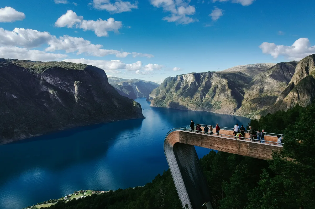
The fjord landscape between Oslo and Bergen — Aurlandsfjord, the UNESCO-listed Nærøyfjord, and the Flåm Railway's descent to the water's edge from Myrdal.
 Multi-Day Tours
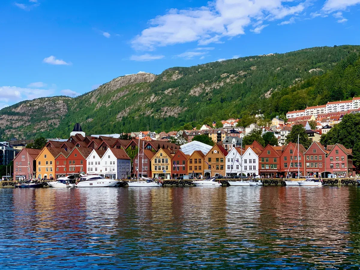
A relaxed 9-day route from Oslo through the mountain town of Geilo, the Flåm Railway and fjord ferries, the fjord-side village of Balestrand, and Bergen's historic Bryggen wharf.
 Multi-Day Tours
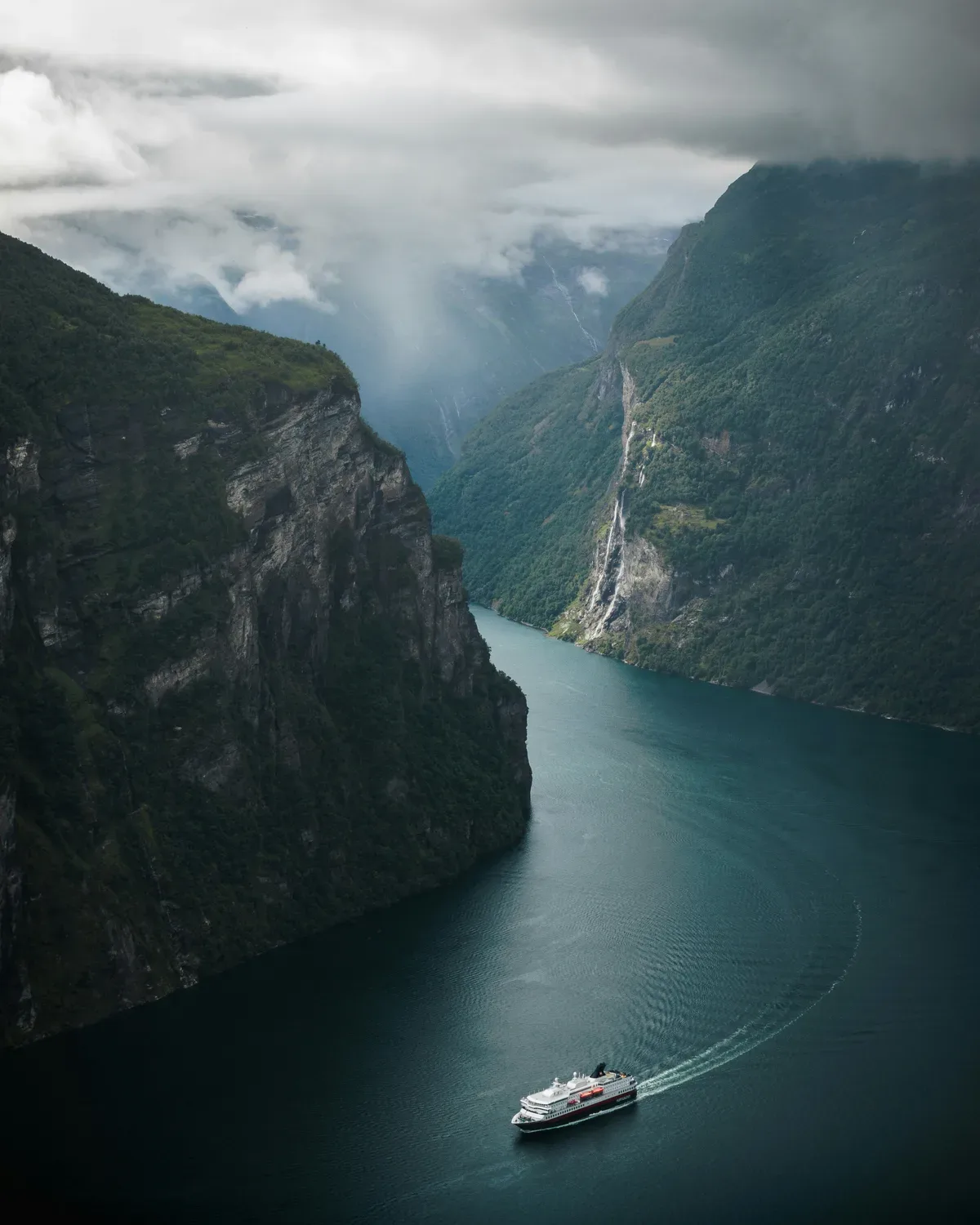
A 14-day Scandinavian journey through Stockholm's Viking history, Gothenburg's archipelago, Copenhagen by bike, an overnight cruise to Oslo, and Norway's fjord country via the Flåm Railway to Bergen.
Visitor guide
Nærøyfjord and the Flåm Railway are two linked attractions in Aurland Municipality, Vestland county, western Norway. The UNESCO-listed Nærøyfjord is one of the narrowest arms of the Sognefjord system, and the Flåm Line is a steep tourist railway that descends from the mountain junction of Myrdal to the shore of Aurlandsfjord. Together they form one of the best-known fjord journeys in the country.
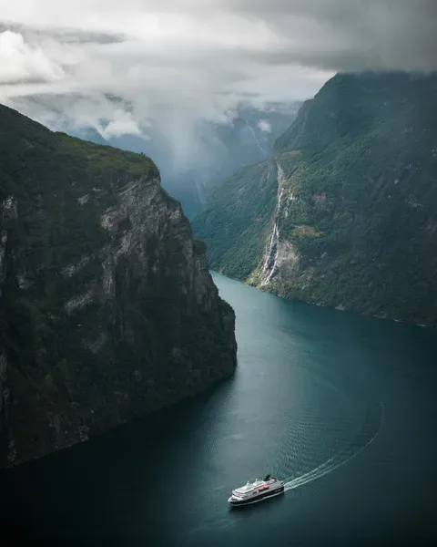
Nærøyfjord branches off Aurlandsfjord, itself a branch of the Sognefjord. It is about 17 kilometres long and, at its narrowest, roughly 250 metres wide. South of the village of Bakka the fjord narrows to under 500 metres, with mountain summits on either side only about 3 kilometres apart. The surrounding mountains rise to around 1,761 metres, and Gudvangen sits at the inner end where the Nærøydalselvi river enters.
Steep valley walls rise almost straight from the water, cut by waterfalls and hanging valleys. Glaciers in the Quaternary ice ages carved deep, narrow valleys into ancient crystalline bedrock, and seawater flooded them after the ice retreated. In unusually cold winters the fjord has occasionally frozen, as recorded in the 1920s and in 1962.
Nærøyfjord was inscribed on the UNESCO World Heritage List in 2005, together with Geirangerfjord, as the West Norwegian Fjords. The site is listed under natural criteria (vii) and (viii), reference 1195. The protected area includes several nature reserves and a cultural landscape shaped by historic farming on steep terrain. Wikipedia notes that the landscape was one of the inspirations for Arendelle in Disney's Frozen.
The Flåm Line is a 20.2 kilometre standard-gauge, single-track branch of the Bergen Line, running from Myrdal at about 866 metres above sea level down the Flåmsdalen valley to Flåm. Its maximum gradient is 5.5 percent, and Wikipedia describes it as the steepest standard-gauge railway in Europe. About twenty tunnels and one bridge, the Høga Bridge, are on the route.
The idea of a railway between Oslo and Bergen was first proposed in 1871, and the Bergen Line was completed in 1909. Parliament approved the Flåm branch in 1916 and decided in 1923 that it would be electric. Nearly all the tunnels were dug by hand, with only Nåli and Vatnahalsen using machines. Two fatal accidents occurred during construction, and tunnel work caused silicosis among workers. Freight service began on 1 August 1940, and passenger service started on 10 February 1941. Regular electric operation began on 25 November 1944.
The line passes a series of small stations. Kjosfossen station exists mainly so passengers can view the Kjosfossen waterfall, and Berekvam is the only station with a passing loop. Near Furuberget the line passes the Rjoandefossen waterfall, which drops about 140 metres. Travel between the two ends takes roughly 50 to 59 minutes. Wikipedia reports the railway as the third most visited tourist attraction in Norway in 2007, and it now operates almost entirely as a tourist service.
Flåm has roughly 400 residents and is mainly a tourist area with a cruise ship port and a railway museum. Fjord cruises run between Flåm and Gudvangen through Aurlandsfjord and Nærøyfjord, and rail-and-boat combinations are a common way to experience both. Services vary by season, so a private guided day can help fit rail, boat and road segments together.
See every tour and attraction we cover in Norway.