TorontoOntario · 36 tours
 Niagara FallsOntario · 25 tours
 New York CityNew York · 30 tours
 Las VegasNevada · 8 tours
 San FranciscoCalifornia · 16 tours
 VancouverBritish Columbia · 17 tours
 DubaiUAE · 54 tours
 Abu DhabiUAE · 5 tours
 Buenos AiresArgentina · 23 tours
 AthensGreece · 31 tours
 AucklandNew Zealand · 38 tours
 CancunMexico · 54 tours
No destinations match “”. Try searching all tours instead — that search understands full questions, not just place names.
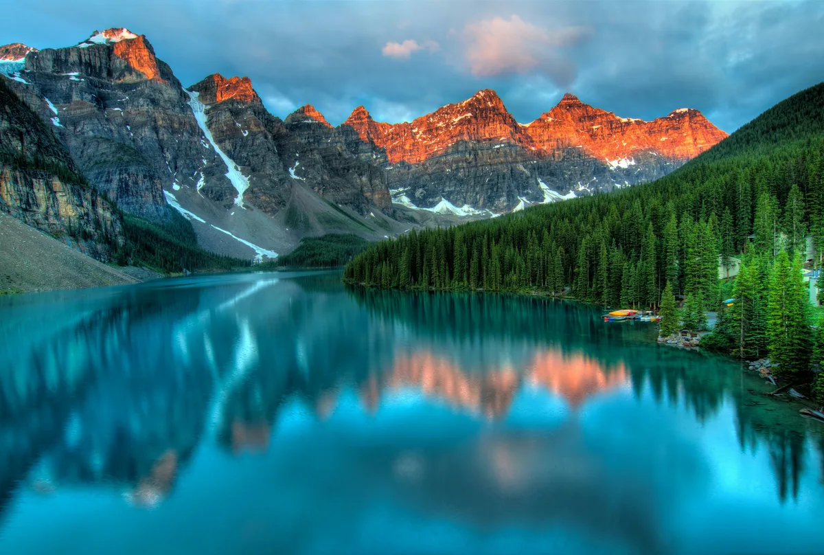
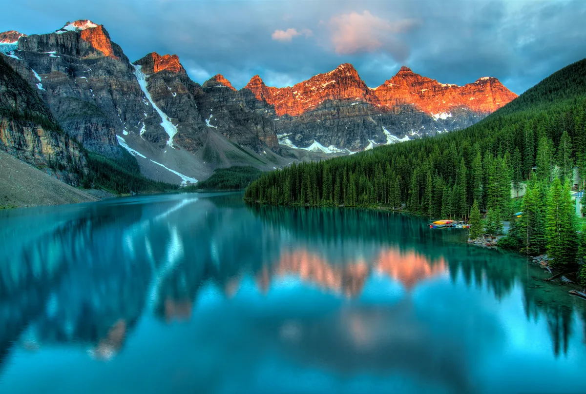
A brilliant turquoise glacial lake set against the Valley of the Ten Peaks, accessible only in the warmer months when Moraine Lake Road is open.
 Private Tours
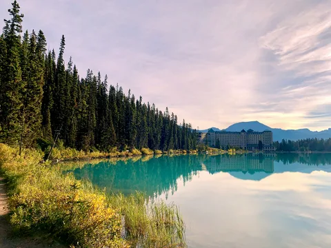
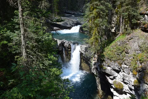
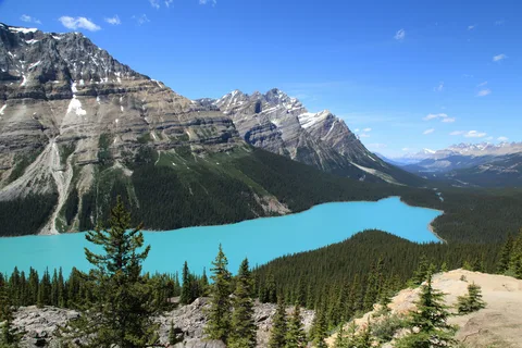
A private, fully customizable full-day tour of Banff National Park from Canmore — Lake Louise, Moraine Lake, Peyto Lake, Bow Lake, and Johnston Canyon — in your own vehicle with a dedicated guide, admission fees included.
 Private Tours
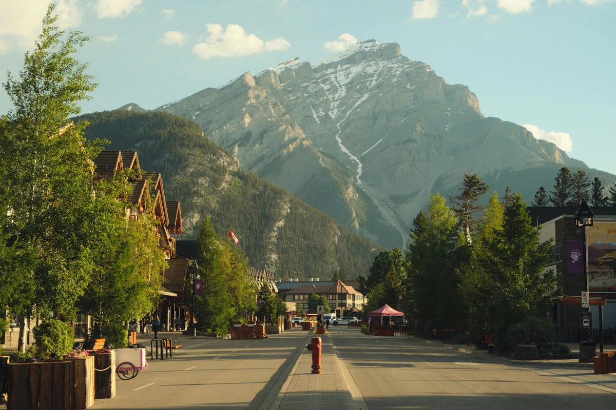
A private day tour into Banff National Park from Calgary — the town of Banff, Bow Falls, the Banff Viewpoint, Lake Louise, Moraine Lake (seasonal), and the Hoodoos — in your own vehicle with a dedicated guide.
Visitor guide
Moraine Lake sits in the Valley of the Ten Peaks in Banff National Park, about 14 km from the village of Lake Louise at an elevation of roughly 1,884 m (6,181 ft). A jagged wall of peaks rises directly behind the lake, and the view from the rock pile at its outlet is one of the most reproduced in Canada.
Moraine Lake covers about 50 hectares and is around 14 m deep at its maximum. It is fed mainly by snow and glacial melt, including water from the Fay Glacier and Larch Creek, and drains through Moraine Creek. Because it depends on meltwater, it does not reach its fullest level, or its most vivid colour, until about mid-to-late June. The blue-green tone comes from glacial rock flour suspended in the water, as at Lake Louise. The lake's name suggests a moraine, a ridge of glacial debris, and the story of a moraine dam is often repeated; Wikipedia, however, says the lake has not been dammed or otherwise altered by humans, so treat the origin story as an area of some uncertainty and ask a guide or Parks Canada interpreter for the current explanation.
The surrounding valley takes its name from ten peaks that the explorer Samuel Allen is credited with first referring to by the Stoney numerals one through ten. Most were later renamed for notable people, Allen included. The valley is also known by the spelling Wenkchemna, from the Stoney word for ten. Of the ten, Deltaform Mountain is the highest at 3,424 m, while Mount Fay, the first in the east-to-west numbering, is 3,235 m and had a first ascent in 1904. The early mountaineers who explored this country in the 1890s, among them Walter Wilcox and Allen, helped put the area on the map for climbers.
A short trail leads up the rock pile at the lake's outlet, a loop of well under a kilometre with a modest climb. From the top, the lake and peaks appear together, the view known as the Twenty Dollar View because it appeared on the reverse of the Canadian twenty-dollar bill in the Scenes of Canada series, first issued in 1970 and reissued in 1978, according to the Bank of Canada Museum. The fragile alpine vegetation here is protected, so stay on designated trails and viewpoints.
Longer options leave from the same day-use area, including the Consolation Lakes trail, which Parks Canada lists at roughly 2.9 km one way (about 6 km return) on its current Lake Louise area map and guided-hike page, so check the trail details before setting out.
Moraine Lake Road is closed to personal vehicles. Parks Canada describes access by its shuttle, public transit or a commercial tour operator, with shuttle service running in the summer season and reservations required for the Parks Canada shuttle. The road can also be walked or cycled, and permit holders with disabilities have an exemption. Season dates, rules and reservations change, so confirm them on Parks Canada's current pages before planning.
Lake Louise itself is about 14 km away. A private tour with a commercial operator, with your own vehicle and driver collecting you door to door, is one of the permitted ways to reach Moraine Lake, but ask your operator to confirm current arrangements rather than assuming a particular access route.
See every tour and attraction we cover in Banff.