TorontoOntario · 36 tours
 Niagara FallsOntario · 25 tours
 New York CityNew York · 30 tours
 Las VegasNevada · 8 tours
 San FranciscoCalifornia · 16 tours
 VancouverBritish Columbia · 17 tours
 DubaiUAE · 54 tours
 Abu DhabiUAE · 5 tours
 Buenos AiresArgentina · 23 tours
 AthensGreece · 31 tours
 AucklandNew Zealand · 38 tours
 CancunMexico · 54 tours
No destinations match “”. Try searching all tours instead — that search understands full questions, not just place names.
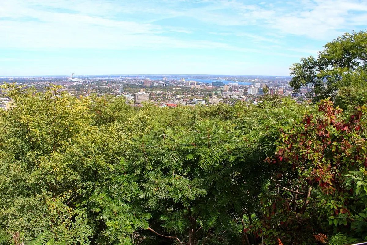
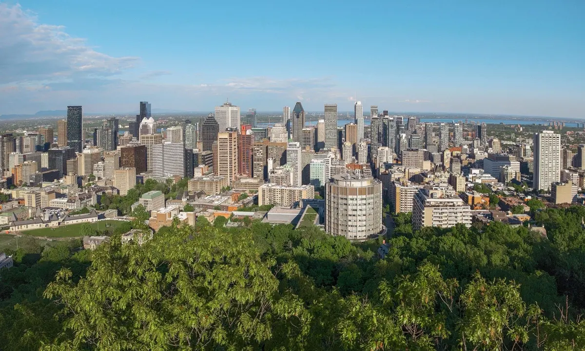
A city lookout point on the wooded hill Montreal is named for, designed by Frederick Law Olmsted.
Visitor guide
Mount Royal is the wooded hill in the middle of Montreal that gave the city its name, and the Kondiaronk Belvedere beside the Chalet du Mont-Royal is its best-known viewpoint. From the terrace you look out over downtown, the St. Lawrence River and, beyond them, the plain toward the Monteregian hills. The surrounding park, about 190 hectares according to the City of Montréal's heritage statement, was designed by Frederick Law Olmsted and opened in 1876.
Mount Royal is the eroded core of an ancient igneous complex, probably formed around 125 million years ago, and it is part of the Monteregian Hills. It has three summits: Colline de la Croix at 233 metres is the highest, Outremont at 211 metres and Westmount at 201 metres. Wikipedia says Jacques Cartier was the first European to climb it, in 1535, and named it for King Francis I. The origin of the name Montreal is debated: one theory links it to the old spelling Mont Real, another to a 1556 map using Monte Real.
The mountain was a gathering place for Indigenous peoples long before the French arrived, and Wikipedia places the Hochelaga village on the mountain. In 1643 Maisonneuve climbed the hill and placed a cross there to fulfil a vow. The Montreal park was created in 1876 after the city began buying land in 1868, and Olmsted, who also co-designed Central Park in New York, laid it out. The plans were scaled back in a mid-1870s depression, so the park was not built entirely to his design.
The Chalet du Mont-Royal was built in 1931 and 1932, according to the City of Montreal's heritage encyclopedia, to a design by Aristide Beaugrand-Champagne, as one of the Depression-era public works. The earlier pavilions on the escarpment were demolished in 1934. The lookout was named for Kondiaronk, the Huron-Wendat chief whose diplomacy helped bring about the Great Peace of Montreal in 1701. The City of Montréal's heritage statement says the semicircular belvedere was built in 1906 and took the name Kondiaronk in 1997-1998. The belvedere was redeveloped between 1992 and 1998, according to the City's heritage statement.
The current illuminated cross is about 30 metres tall (some sources say 31.4) and was installed in 1924 by the Societe Saint-Jean-Baptiste; it moved to LED lighting in 2009. The park has about 18 km of groomed cross-country ski and snowshoe trails, a small artificial lake, Beaver Lake, a popular skating spot in winter, a sculpture garden and the George-Etienne Cartier Monument, home to the Tam-Tams.
The park is run by the City of Montreal and is open year-round, but access roads, shuttle service and chalet hours can change by season, so check the City or Les amis de la montagne for current details. Allow time for the walk up from the city or arrange a drop-off at the top.
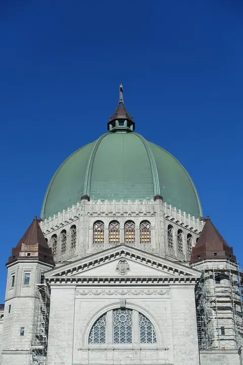
Saint Joseph's Oratory, McGill University and the Universite de Montreal are all on the mountain's slopes. A private tour with a driver can take you right to the lookout and collect you again, which saves the climb, and then continue into the city.
See every tour and attraction we cover in Montreal.