TorontoOntario · 36 tours
 Niagara FallsOntario · 25 tours
 New York CityNew York · 30 tours
 Las VegasNevada · 8 tours
 San FranciscoCalifornia · 16 tours
 VancouverBritish Columbia · 17 tours
 DubaiUAE · 54 tours
 Abu DhabiUAE · 5 tours
 Buenos AiresArgentina · 23 tours
 AthensGreece · 31 tours
 AucklandNew Zealand · 38 tours
 CancunMexico · 54 tours
No destinations match “”. Try searching all tours instead — that search understands full questions, not just place names.
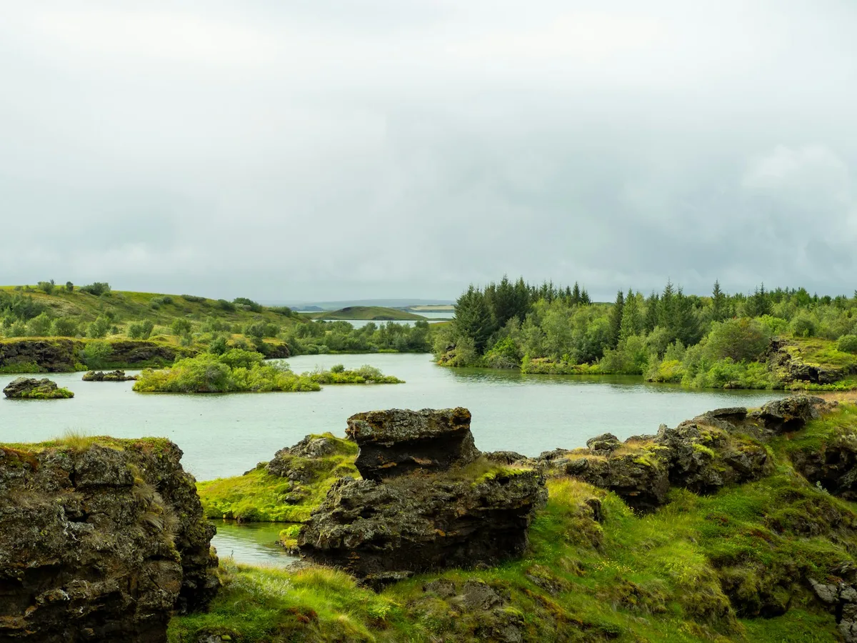
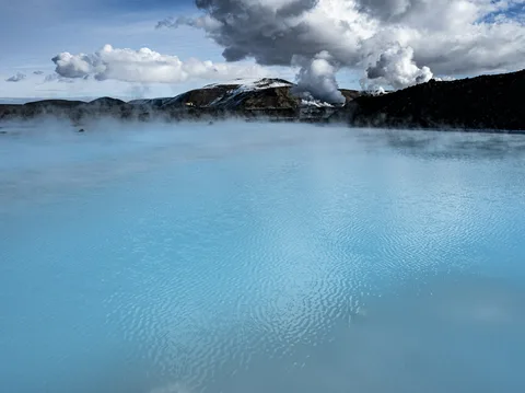
A shallow volcanic lake in north Iceland surrounded by pseudocraters, lava fields, and geothermal features, a longtime stop on Ring Road itineraries and a haven for birdlife.
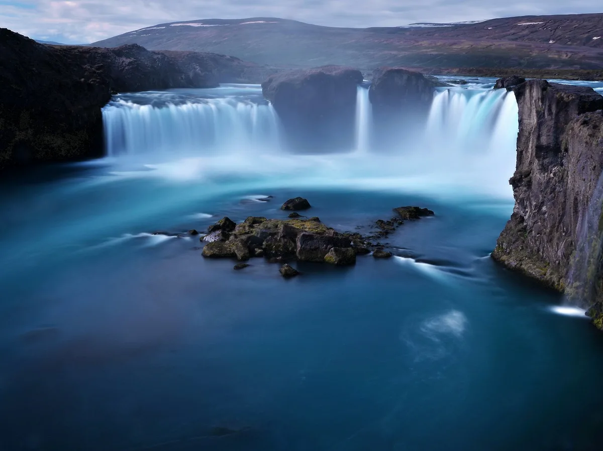 Multi-Day Tours
A 9-day route through North Iceland's less-visited landscapes — a flight to Akureyri, the Diamond Circle's Dettifoss and Asbyrgi Canyon, the remote Westfjords, the Snaefellsnes Peninsula, and a finish through the western lava fields.
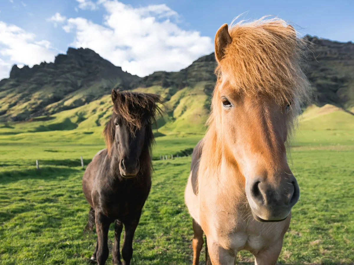 Multi-Day Tours
A 14-day full circuit of the Ring Road for Viking-history enthusiasts — Reykjavik's Viking museums, Snaefellsnes saga sites, the Westfjords-adjacent north, Husavik whale-watching, Lake Myvatn's Game of Thrones locations, the Eastfjords, Jokulsarlon, and the Golden Circle.
Visitor guide
Myvatn is a shallow lake in northern Iceland, in an area of active volcanism near the Krafla volcano. Its name means lake of midges, after the large numbers of midges present in summer, and it is known for its volcanic landforms, birdlife and geothermal surroundings.
Wikipedia gives the lake an area of about 37 square kilometres, an elevation of roughly 278 m, an average depth of 2.5 m and a maximum depth of 4.5 m. It formed about 2,300 years ago from a large basaltic fissure eruption, when lava flowed down Laxardalur toward the coast, roughly 50 km away. The lava met an earlier lake, and water-logged sediment beneath the flow produced steam explosions that built rootless cones, or pseudocraters, which line the shore and form some islands. The Skutustadir pseudocraters on the south shore are protected as a natural monument. Lava pillars include Dimmuborgir and Hofdi.
The Hverfjall cycle, starting about 2,500 years ago, produced the Hverfjall tephra ring and the Younger Laxa lava that dammed the present lake. The Myvatnseldar eruptions of 1724 to 1729 began with the crater lake Viti, and later lava flowed to the lake's north end and destroyed two farms. Krafla was active again from 1975 to 1984, with nine eruptions. The region lies on the western edge of a volcanic zone that extends the Mid-Atlantic Ridge, and diatomite was mined at the lake until 2004.
Fifteen duck species breed at the lake, the largest number in Europe according to Wikipedia. The tufted duck is the most common, with about 6,000 pairs, and Barrow's goldeneye and harlequin duck are also notable. The lake is an Important Bird Area, and populations have been monitored since 1975. Local egg harvesting follows a traditional rule of leaving at least four eggs in each nest. Myvatn is also one of the few places where marimo, balls of the alga Cladophora, grow naturally, though the population collapsed around 2013 and small balls have been reappearing.
The area has a tundra climate bordering on subarctic, with cool summers and long, cold winters. Wikipedia gives about 4,400 square kilometres for the Myvatn-Laxa Nature Conservation Area, but the Ramsar listing for the Myvatn-Laxa region gives about 20,000 hectares (roughly 200 square kilometres), and the wider area was designated a Ramsar wetland on 2 December 1977. A marathon around the lake has been held each summer since 2000.
The ridge Namafjall is a hyaloclastite ridge, formed by eruptions under ice rather than as a table mountain, and it lies near the Krafla system. The lake's outflow is the river Laxa, and the lake is classed as volcanogenic and eutrophic. At Reykjahlid, the long-term annual precipitation is about 435 mm, with roughly 1,203 hours of sunshine, and the record low is minus 30.9 degrees Celsius. These figures give a sense of the dry, cold, open character of the area.
Midges can be numerous in summer, and the lake basin is spread out. A private guided visit with a driver suits the scattered sights around the shore.
See every tour and attraction we cover in Iceland.