TorontoOntario · 36 tours
 Niagara FallsOntario · 25 tours
 New York CityNew York · 30 tours
 Las VegasNevada · 8 tours
 San FranciscoCalifornia · 16 tours
 VancouverBritish Columbia · 17 tours
 DubaiUAE · 54 tours
 Abu DhabiUAE · 5 tours
 Buenos AiresArgentina · 23 tours
 AthensGreece · 31 tours
 AucklandNew Zealand · 38 tours
 CancunMexico · 54 tours
No destinations match “”. Try searching all tours instead — that search understands full questions, not just place names.
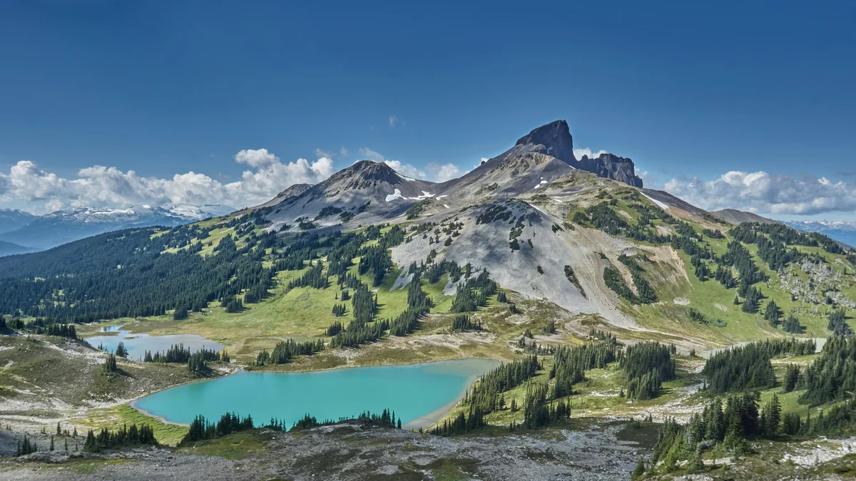
A vast wilderness park of glaciers, alpine lakes and volcanic peaks stretching between Squamish and Whistler, including the turquoise waters of Garibaldi Lake and the black volcanic spire of Black Tusk.
Visitor guide
Garibaldi Provincial Park is a mountain wilderness on British Columbia's coastal mainland between Squamish and Whistler, covering about 195,000 hectares according to BC Parks. Its volcanic peaks, glaciers and turquoise lakes are reached by five trailheads off the Sea to Sky Highway, and there are no roads through the interior.
The park takes its name from Mount Garibaldi, named in 1860 by Captain George Henry Richards after the Italian leader Giuseppe Garibaldi. It was set aside as a park reserve in 1920 and legislated as a Class A provincial park in 1927 (BC Parks gives 1927). The Squamish call the mountain Nch'ḵay̓, and the area was important for hunting, foraging and collecting obsidian. Black Tusk is considered sacred to the Squamish and Lil'wat peoples.
The park sits within the Garibaldi Volcanic Belt, which includes Mount Garibaldi, Mount Price and The Black Tusk. Wikipedia counts over 150 glaciers, and Wedge Mountain, at 2,891 metres, is the highest peak. Garibaldi Lake lies at about 1,484 metres, with an area of about 10 square kilometres and an average depth of 119 metres (maximum about 259 metres). Lava flows from Mount Price and Clinker Peak blocked the valley, forming a lava dam known as The Barrier, which is more than 300 metres thick. The lake's colour comes from glacial flour carried in meltwater from the Sphinx and Sentinel Glaciers.
The Barrier has produced debris flows, most recently in 1855 to 1856, creating the boulder field that gave Rubble Creek its name. In 1981 the province declared the area below the Barrier unsafe for habitation and the village of Garibaldi was evacuated. For this reason, BC Parks prohibits overnight camping or lingering at the Garibaldi Lake parking lot, which lies in a civil defence zone. The District of Squamish found no scientific evidence of an uncontrolled lake release, but the risk is one reason for the restrictions.
BC Parks lists five access points along Highway 99: Diamond Head (for Elfin Lakes), Rubble Creek (Garibaldi Lake and Black Tusk), Cheakamus Lake, Singing Pass and Wedgemount Lake. Wikipedia counts over 90 kilometres of maintained trails, 11 walk-in campgrounds and four overnight shelters. BC Parks warns that the backcountry is demanding and requires fitness and self-sufficiency, that weather changes quickly, and that avalanche and glacier hazards exist year-round. Climbing Black Tusk is not recommended because of loose rock.
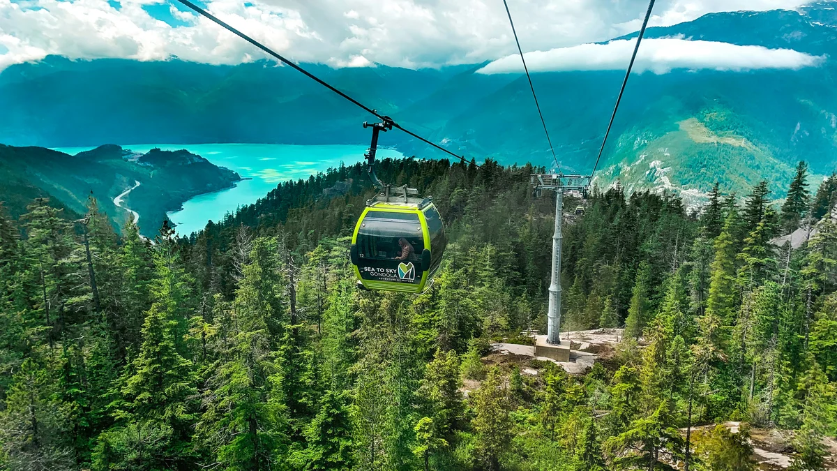
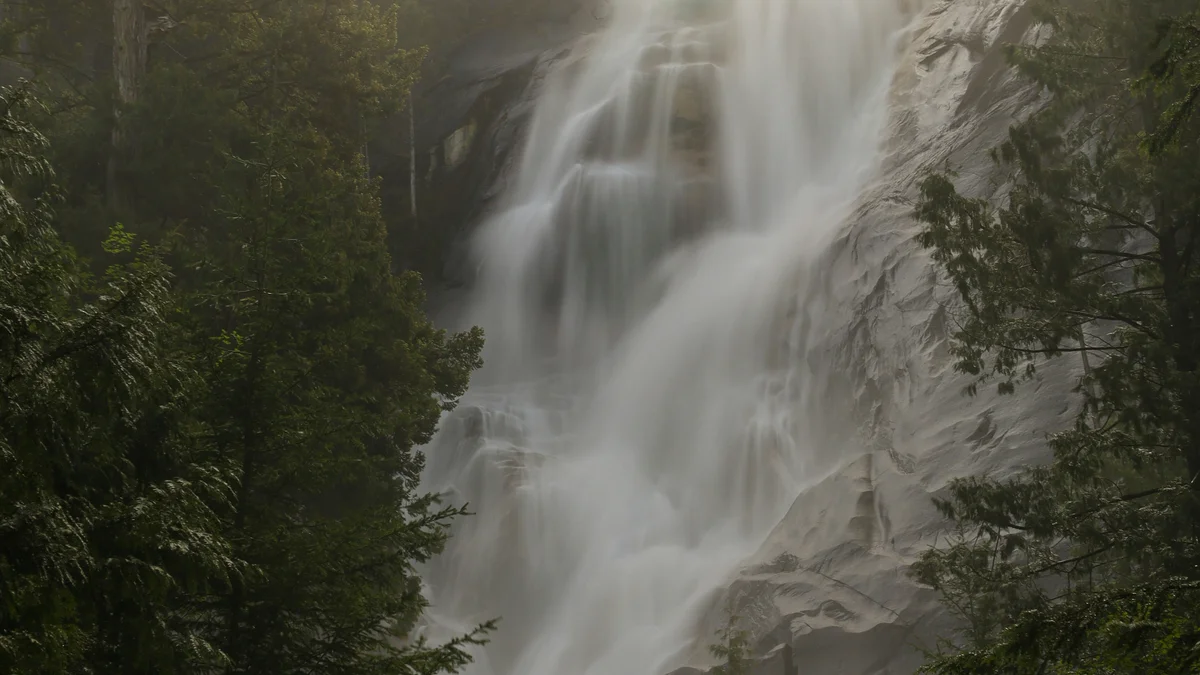
Squamish, Shannon Falls and the Stawamus Chief lie to the south, with Whistler and Brandywine Falls to the north. For visitors who do not plan a strenuous hike, a private Voyzo tour with a private vehicle and driver and door-to-door pickup could pair the Sea to Sky Highway viewpoints with a trailhead stop; confirm the plan you want and what is permitted with BC Parks.
See every tour and attraction we cover in Squamish.