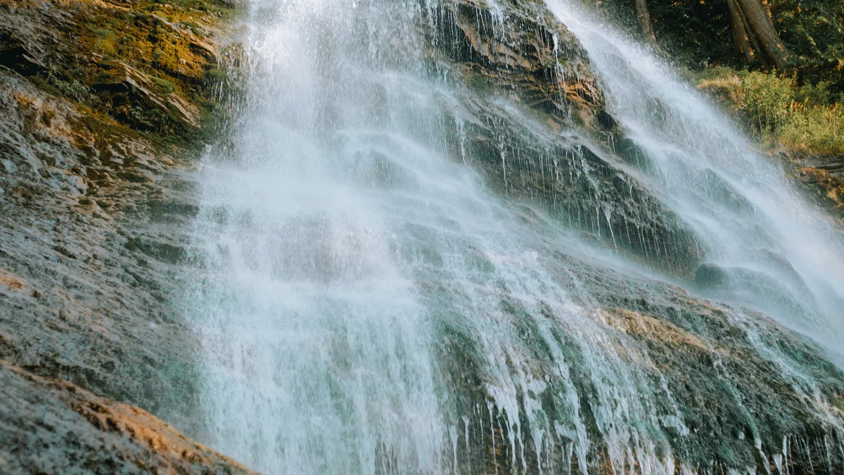
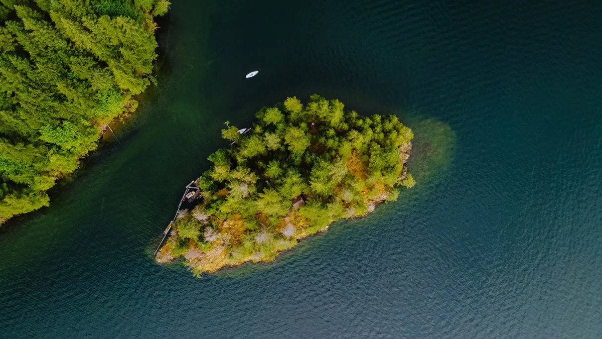
TorontoOntario · 36 tours
 Niagara FallsOntario · 25 tours
 New York CityNew York · 30 tours
 Las VegasNevada · 8 tours
 San FranciscoCalifornia · 16 tours
 VancouverBritish Columbia · 17 tours
 DubaiUAE · 54 tours
 Abu DhabiUAE · 5 tours
 Buenos AiresArgentina · 23 tours
 AthensGreece · 31 tours
 AucklandNew Zealand · 38 tours
 CancunMexico · 54 tours
No destinations match “”. Try searching all tours instead — that search understands full questions, not just place names.
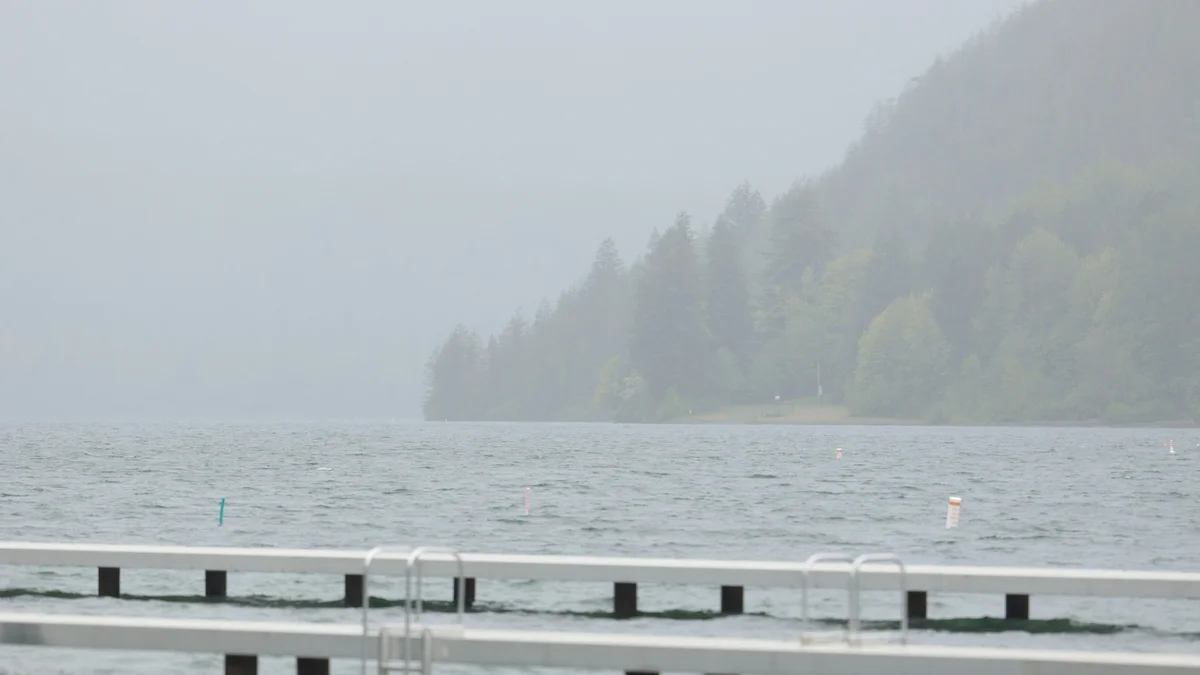
A warm-water lake ringed by forested mountains near Chilliwack, popular for swimming, boating and lakeside camping, with hiking trails climbing into the surrounding Cascade foothills.
Visitor guide
Cultus Lake is a deep, glacier-carved lake in British Columbia's Fraser Valley, about 11 km southwest of Chilliwack and roughly 80 km east of Vancouver. Much of its shoreline is protected as Cultus Lake Provincial Park, which sits beside a small lakeside community and has long been a summer favourite for Lower Mainland families.
The lake covers roughly 6 to 6.5 square kilometres (sources give slightly different figures), with an average depth of about 32 m and a maximum of around 41.8 m, according to Wikipedia. Its surface sits at about 47 m above sea level, and the Sweltzer River drains it. Several creeks feed it, including Frosst, Smith Falls and Windfall creeks. Because it is deep and slow to flush, water takes well over a year to cycle through.
BC Parks describes the setting as a transition zone where Douglas-fir and broadleaf maple dominate. Coyote, black-tailed deer and beaver live here, and the park lists about 100 bird species. The foreshore is also habitat for the endangered Cultus Lake sockeye, a small, genetically distinct population that BC Parks flags in its park information.
For the Stó:lō, Cultus Lake is a place of spirit quests, and Wikipedia gives its Halkomelem name as Swílhcha'. 'Cultus' is Chinook Jargon, a trade language of the Pacific Northwest, and means roughly 'bad' or 'worthless'. Wikipedia suggests one reading in which the name reflects the lake's spiritual power being worn down by crowds, but the origin of the name is not settled and should be treated as an interpretation.
Early logging left a sawmill and booming ground on the lake, and settlers began using it for recreation in the early 1900s. A joint committee of Chilliwack and the surrounding township formed in 1924, and the Cultus Lake Park Board, which still operates today, followed in 1932. The provincial park designation is dated 1948 on the BC Parks site, while Wikipedia gives 1950, so it is safest to say the park dates to the late 1940s. BC Parks notes a recent expansion of 202 hectares.
BC Parks says the park is split roughly evenly between a mostly undeveloped northwest shore and a southeast shore where the visitor facilities are. It has four campgrounds and a large day-use area for picnicking and boating, five main trails ranging from a short self-guided walk to a long horse trail, and a wildlife viewing area at Teapot Hill. Swimming is allowed within marked areas, and canoes, kayaks, stand-up paddle boards and waterskiing (counterclockwise) are all permitted. The lake holds rainbow, cutthroat and Dolly Varden trout, and a fishing licence is required.
The privately operated attractions in the community, including a waterpark and an adventure park that Wikipedia says opened in July 2014, add a more commercial summer atmosphere alongside the provincial park.
Chilliwack and the Fraser River are a short drive north, and Vedder River and Chilliwack Lake lie in the mountains to the east. On a Voyzo private tour, your own driver handles the parking and the winding road in, so the group can spend the day on the water or the trails and be dropped back at your door.
See every tour and attraction we cover in Fraser Valley.