TorontoOntario · 36 tours
 Niagara FallsOntario · 25 tours
 New York CityNew York · 30 tours
 Las VegasNevada · 8 tours
 San FranciscoCalifornia · 16 tours
 VancouverBritish Columbia · 17 tours
 DubaiUAE · 54 tours
 Abu DhabiUAE · 5 tours
 Buenos AiresArgentina · 23 tours
 AthensGreece · 31 tours
 AucklandNew Zealand · 38 tours
 CancunMexico · 54 tours
No destinations match “”. Try searching all tours instead — that search understands full questions, not just place names.
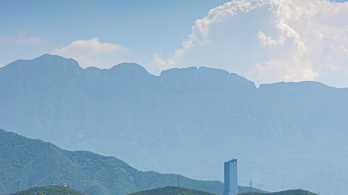
Monterrey's defining natural landmark, this saddle-shaped mountain rises to about 1,820 meters on the city's eastern edge and appears on Nuevo León's official coat of arms, visible from nearly every point in the city as a constant backdrop to daily life.
Visitor guide
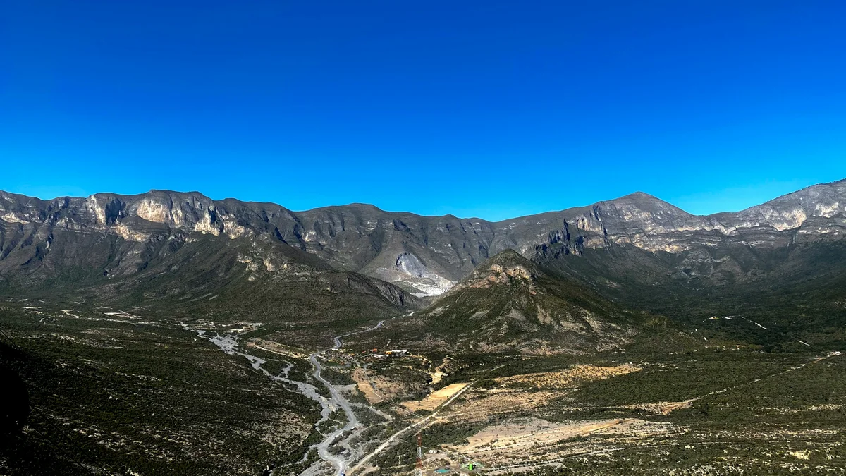
Cerro de la Silla, meaning Saddle Hill, is a saddle-shaped mountain and natural monument on the eastern edge of the Monterrey metropolitan area in Nuevo Leon, Mexico. It forms part of the foothills of the Sierra Madre Oriental and is regarded as an icon of Monterrey and one of Nuevo Leon's main representative symbols.
Wikipedia lists four peaks: Pico Antena, Pico Norte, Pico Sur and Pico la Virgen. Pico Norte is the highest at 1,820 metres, while Pico la Virgen is the lowest at 1,750 metres; the Spanish edition gives the summit as 1,821 metres, with elevations on the mountain ranging from about 450 metres in the Boca canyon. The mountain covers about 60.4 square kilometres (6,039 hectares in CONANP's record) across three municipalities: Juarez (about 55 percent), Guadalupe (about 32 percent) and Monterrey (about 13 percent).
The name translates as Saddle Hill and refers to the profile seen from the city. The Spanish Wikipedia article attributes the name to the Portuguese-born explorer Alberto del Canto, who reportedly saw a saddle-like shape in the peak while in Monterrey, the city founded by his father-in-law Diego de Montemayor. This is a traditional attribution rather than a documented fact.
According to the Spanish Wikipedia article, the mountain lies in the southwestern Sierra Madre Oriental and consists of folded sedimentary rock, mainly Cretaceous limestones and shales. Soils are thin and coarse. The climate is described as temperate to semi-warm and subhumid, with an average annual temperature of about 21 degrees Celsius and annual rainfall of roughly 1,000 to 1,100 millimetres.
The Mexican government declared the mountain a Monumento Natural in 1991; the decree was published in the Diario Oficial de la Federación on 26 April 1991, and the Spanish article says it was the first protected area to receive that category. It cites CONABIO figures of more than 1,025 plant and animal species in the monument, including 18 listed as at risk. The same article reports 295 plant species, mainly scrub and oak forest, with pines at higher elevations. Reported wildlife includes black bear, bobcat, jaguarundi, white-tailed deer, puma, gray fox and coyote, and the former phosphorite mine of La Boca cave is said to shelter more than six bat species.
The Spanish article says the first settlers arrived around 1500 CE and that rock paintings in the sierra are linked to nomadic groups, though it notes no known ceremonial activity at the mountain. Local oral tradition links the bandit Agapito Trevino, known as Caballo Blanco, to a treasure said to be hidden in a cave on the mountain; this is folklore and not a verified account.
In the second half of the twentieth century an aerial tramway was built on the north side to give residents quicker access. It opened on 2 June 1961, and an accident that same day killed several people, including its designer, engineer Jesus Fernandez; Wikipedia says five died, while the Spanish article says several. Only the upper platform survives and is used as a lookout.
Wikipedia describes a 5.3-kilometre trail to the summit, calling it fairly difficult and about three hours long. The Spanish article names four main routes, including Camino a la Antena and Paso de los Elefantes, and notes that the most popular route ends at Pico Antena, which carries a television antenna. It advises proper footwear because of the limestone and narrow paths.
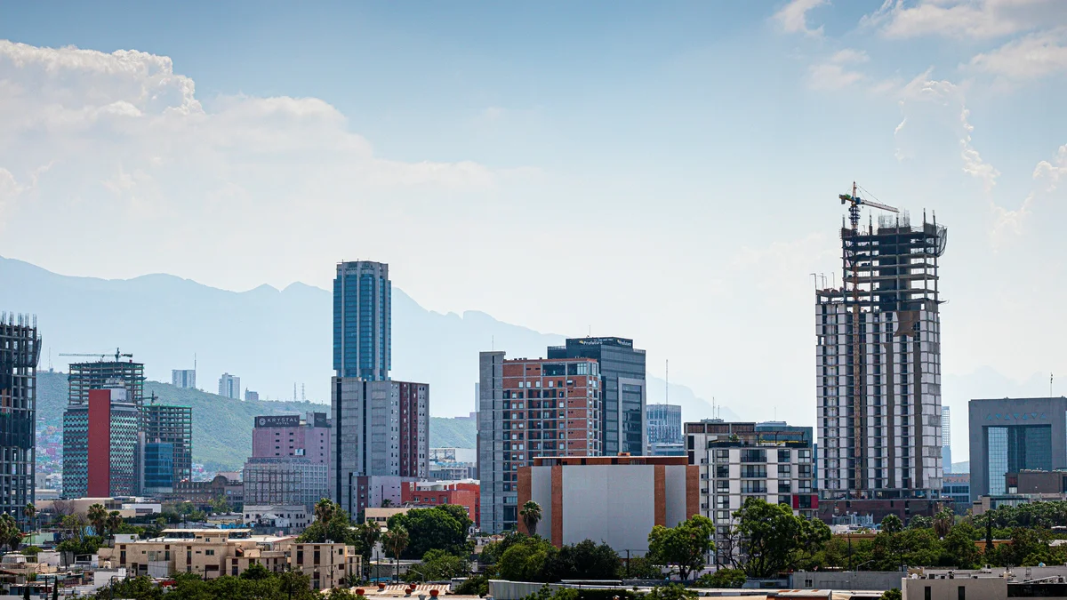
Many visitors simply admire the mountain from the city, where it appears behind the skyline. A private guided visit can pair views of the mountain with the Macroplaza and other downtown landmarks.
See every tour and attraction we cover in Monterrey.