TorontoOntario · 36 tours
 Niagara FallsOntario · 25 tours
 New York CityNew York · 30 tours
 Las VegasNevada · 8 tours
 San FranciscoCalifornia · 16 tours
 VancouverBritish Columbia · 17 tours
 DubaiUAE · 54 tours
 Abu DhabiUAE · 5 tours
 Buenos AiresArgentina · 23 tours
 AthensGreece · 31 tours
 AucklandNew Zealand · 38 tours
 CancunMexico · 54 tours
No destinations match “”. Try searching all tours instead — that search understands full questions, not just place names.
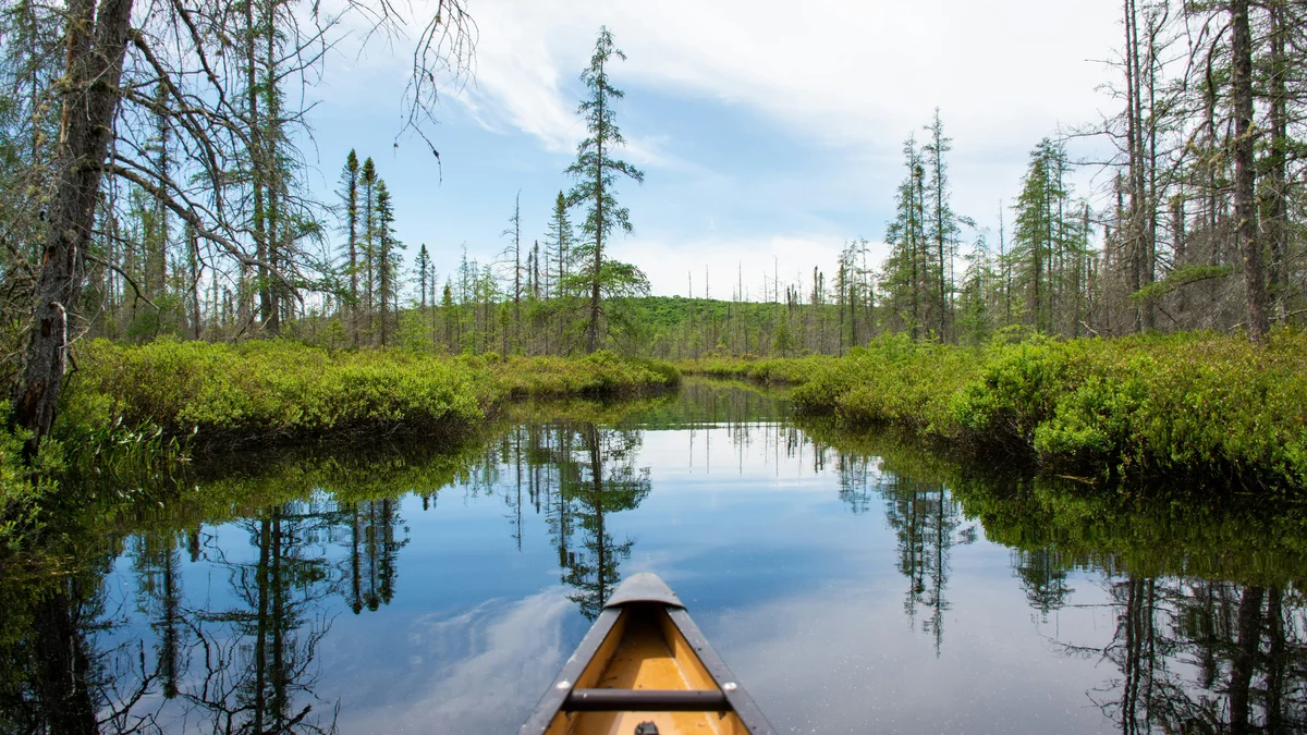
A challenging 10-kilometre loop trail that climbs over a series of rocky ridges, rewarding hikers with some of the widest panoramic views in the park over Algonquin's lake-studded interior.
Visitor guide
Centennial Ridges is a 10.4-kilometre loop in Algonquin Provincial Park, with its trailhead at kilometre 37.6 of Highway 60. Algonquin Park rates it difficult and describes it as very demanding, with scenic lookouts along two high ridges. It is among the longest day hikes on the Highway 60 corridor.
The main trailhead has parking and toilets, and there is secondary access from the Raccoon Lake Campground. The trail climbs onto Canadian Shield ridges, passes through woodland and reaches open lookouts; one trail review reports the first lookout faces Whitefish Lake. The park's page flags a fall danger along the ridges, so stay behind cliff edges, and low sections can be muddy when wet. Time estimates vary by source; one source cites around six hours, while a reviewer logged under four, so allow generous time and daylight.
The trail was created for the park's 100th anniversary and opened in 1993. The Friends of Algonquin Park says it developed or substantially funded the trail and its guide through donor gifts, alongside other early-1990s trails such as Track and Tower, Bat Lake, the Algonquin Logging Museum trail and Berm Lake. The park's trail guide is themed Historic Figures of Algonquin, discussing the contributions of selected people to the park over its first century. The Visitor Centre at kilometre 43 opened the same anniversary year.
Algonquin publishes a guide booklet for each of its interpretive walking trails, with a map and text keyed to numbered posts along the path. Guides are sold at the Friends of Algonquin Park bookstores and, in the warmer months, at trailheads. One hiking blog counts roughly a dozen numbered stations on this loop. Sources differ on how many people the trail honours: a blog describes eleven, including politicians, rangers, artists, educators and conservationists, but the park's own page names none, so check the booklet for the honourees. The same blog names lookouts such as Founders Ridge, MacDougall Mountain and Bryant's Bluff. Wikipedia independently records Frank MacDougall as the park's chief ranger from 1931 to 1941 and the namesake of the Highway 60 parkway, which fits the historical theme.
One independent review logged about 438 metres of elevation gain over the loop, while a blog gives about 360 metres, so treat the figure as approximate. Either way it feels bigger than its distance suggests. Hikers reach a fork where the loop begins, and the ups and downs come from repeatedly crossing ridge crests rather than a single climb. Reviewers describe a few hundred metres of easy walking, a first climb, then long stretches under forest canopy, a marshy pond crossed by a boardwalk, and blue circular markers on trees. The final ridge is described as the high point of the hike for its view over the lake. Algonquin's Highway 60 corridor has 19 hiking trails according to Wikipedia, with day hikes capped at about 11 kilometres, so Centennial Ridges is near the top of the range for length. Because the Shield rock is bare and sometimes wet, footing needs care, and reviewers note there is no drinking water on the loop.
One blog reports large boulders dropped by glaciers along the way, and another review reports blueberry bushes on the cliff edges and spring wildflowers, details that vary by season. Biting insects are noted near the wetland sections.
Fall colour makes the trail popular, and weekend parking can fill. In winter, hikers must park at the closed, locked gate at Centennial Ridges Road and Highway 60, which adds about 2 kilometres each way. A valid park permit is required for trail use. The park lists the Pog Lake, Kearney, Whitefish Group and Raccoon Lake campgrounds as nearby. Check Algonquin Park Information for current conditions, closures and permit rules.
See every tour and attraction we cover in Algonquin Provincial Park.