TorontoOntario · 36 tours
 Niagara FallsOntario · 25 tours
 New York CityNew York · 30 tours
 Las VegasNevada · 8 tours
 San FranciscoCalifornia · 16 tours
 VancouverBritish Columbia · 17 tours
 DubaiUAE · 54 tours
 Abu DhabiUAE · 5 tours
 Buenos AiresArgentina · 23 tours
 AthensGreece · 31 tours
 AucklandNew Zealand · 38 tours
 CancunMexico · 54 tours
No destinations match “”. Try searching all tours instead — that search understands full questions, not just place names.
A dramatic gorge in the park's eastern reaches, with cliffs rising more than 100 metres above the Barron River. A short trail leads to lookouts over the canyon, one of the most striking landscapes in Algonquin Park.
Visitor guide
Barron Canyon is a steep-walled gorge in the eastern part of Algonquin Provincial Park, reached by Barron Canyon Road via the Sand Lake Gate rather than the Highway 60 corridor. Its crystalline rock walls rise more than 100 metres at their highest, and Wikipedia gives the canyon depth as 100 metres (328 feet).
The canyon is cut into Canadian Shield rock and the river lies within a fault associated with the Ottawa-Bonnechere Graben. Algonquin Park's own earth-science page lists it as a fault canyon, alongside the Brent Crater meteorite crater, and describes the park's bedrock as part of the Precambrian Grenville Province. About 10,000 years ago, as the ice sheet retreated, the Barron River was a major outlet for glacial meltwater. Popular accounts compare the peak flow to many Niagara Falls, but this is an estimate by some geologists. Wikipedia suggests the river may briefly have carried outflow from Lake Agassiz, a claim marked there as needing a citation, and other sources date the flood to around 8,000 years ago and point to Lake Algonquin drainage, so treat the details as unsettled. Another source describes a two-stage story, with faulting first breaking the rock into blocks and later erosion widening the gorge, and sources also differ on whether the walls are granite or gneiss. Rockfalls and landslides still occur.
The eastern part of the canyon has cracks and crevices that create a cool microclimate suited to plants normally found in subarctic conditions, which sources describe as relics of the post-glacial period. The cliff tops, by contrast, support red and white pine forest. Park materials also place the canyon within a landscape of glacial features, with drumlins, eskers, kettles and meltwater channels recording how the ice retreated across the region.
In the late 19th and early 20th centuries the river carried timber to the Ottawa River, with water levels managed for log drives. Noisy log drives passed through the canyon every spring. Loggers reportedly called the cliffs the Capes, and graves along the Petawawa and Barron rivers are cited as evidence of how dangerous the work was.
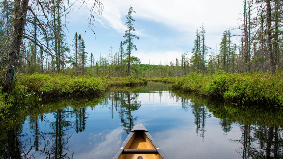
The Barron Canyon Trail is a 1.5-kilometre loop that starts with a climb through pine and poplar stands and leads to lookouts along the rim. Algonquin Park's trail page places the trailhead at km 29.0 of Barron Canyon Road, 11 kilometres north of Sand Lake Gate. The Barron River is also a popular canoe route through the canyon; a Squirrel Rapids parking lot is about 2 kilometres west of the gate. Travel on the Petawawa River below McManus Lake is prohibited because of a military artillery range.
The Barron River rises at Clemow Lake in northern Algonquin, at about 225 metres elevation, and flows southeast through Grand Lake and Stratton Lake, over High Falls and Brigham Chute, past Cache and Squirrel Rapids and over First Chute. It reaches its mouth at Lac du Bois Dur, about 139 metres above sea level, where it joins the Petawawa River and forms that river's southern branch; the Petawawa flows on to the Ottawa River. The river is named after Barron Township, which was named for John Augustus Barron. Ontario Parks lists canoe access points along Barron Canyon Road: Squirrel Rapids about 2 kilometres west of the gate, Brigham Lake about 15 kilometres west, and Grand Lake and Achray about 19 kilometres west, with Achray Campground another 4.8 kilometres in. The route from Highway 17 near Pembroke follows County Road 26, then County Road 28 for about 26 kilometres, first paved and then gravel, to Sand Lake Gate.
Downstream of the park, a separate protected strip called Barron River Provincial Park was established in 2006. Wikipedia describes it as a 200-metre-wide strip along the river's south bank, covering about 539 hectares from Algonquin's eastern boundary to Black Bay, and classes it as a non-operating park. Sources also mention a second, shorter canyon downstream outside the park boundary on the same fault.
See every tour and attraction we cover in Algonquin Provincial Park.