TorontoOntario · 36 tours
 Niagara FallsOntario · 25 tours
 New York CityNew York · 30 tours
 Las VegasNevada · 8 tours
 San FranciscoCalifornia · 16 tours
 VancouverBritish Columbia · 17 tours
 DubaiUAE · 54 tours
 Abu DhabiUAE · 5 tours
 Buenos AiresArgentina · 23 tours
 AthensGreece · 31 tours
 AucklandNew Zealand · 38 tours
 CancunMexico · 54 tours
No destinations match “”. Try searching all tours instead — that search understands full questions, not just place names.
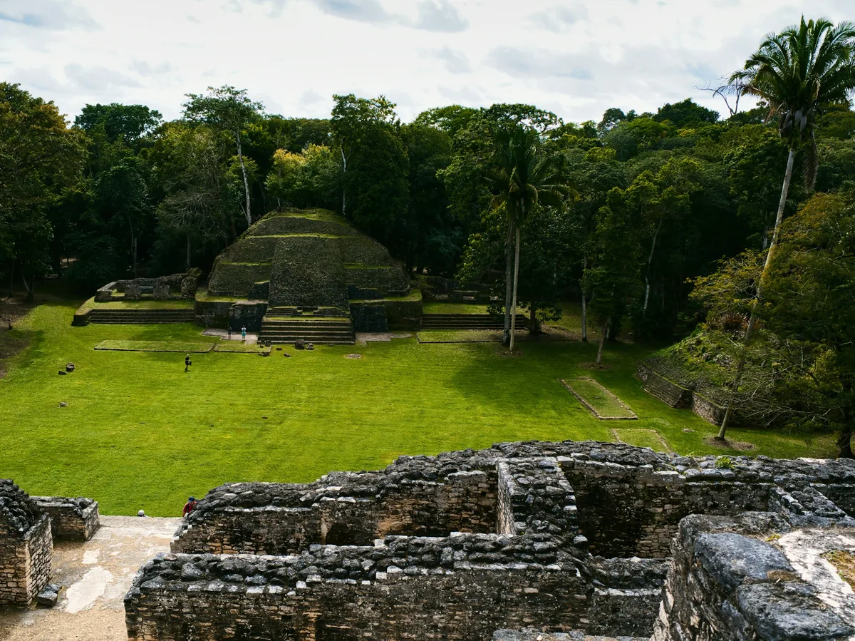
Belize's most-visited Maya ruin site, in the Cayo District near the Guatemala border, centred on El Castillo, a 40-metre pyramid with panoramic views over the Mopan River valley.
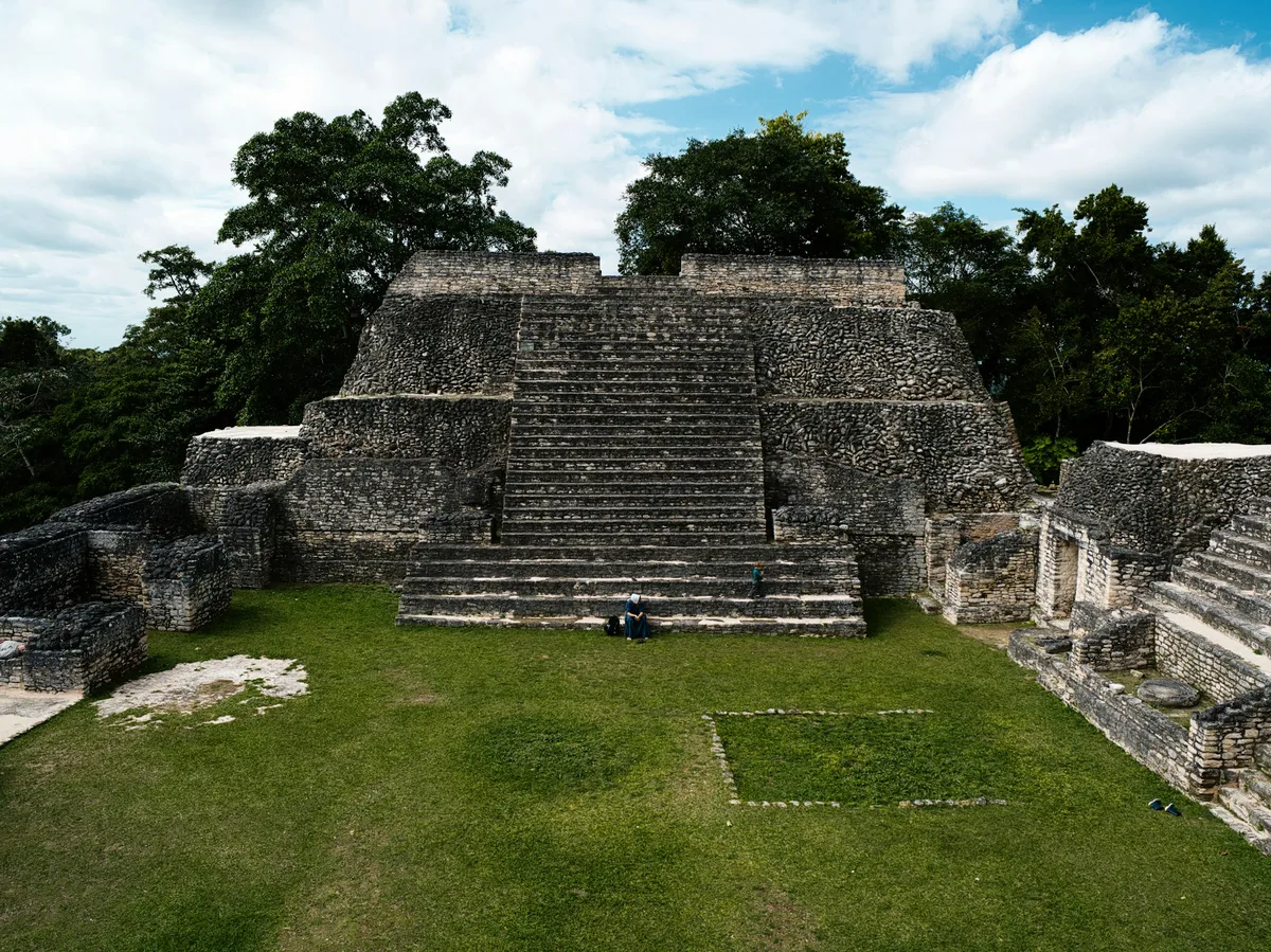 Multi-Day Tours Popular Pick
An 11-day circuit through western Belize's Maya ruins, caves and jungle lodges, finishing with a few days of snorkeling and sunsets on the Placencia Peninsula.
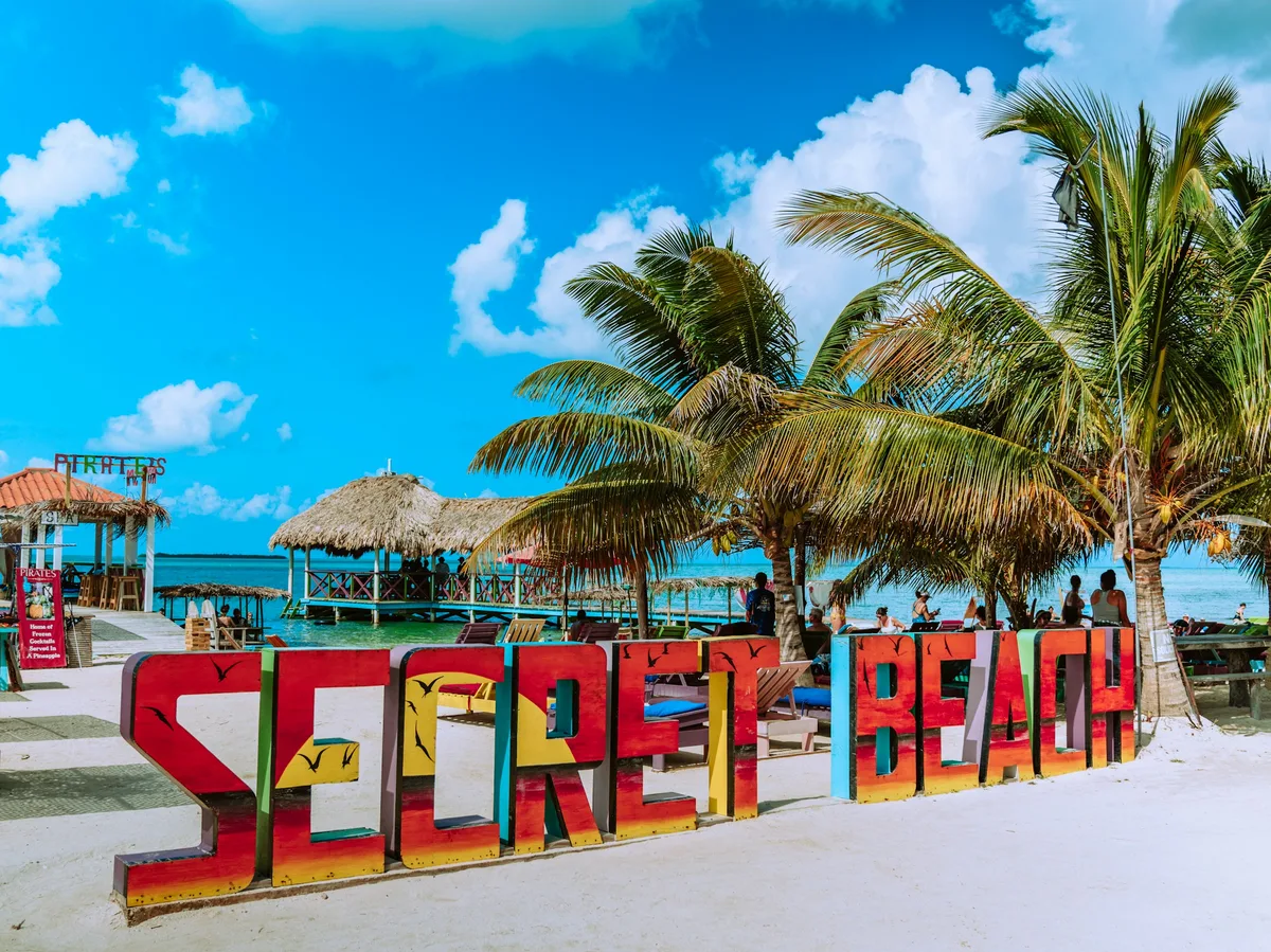 Multi-Day Tours
A 15-day family circuit through Belize's jungle lodges, Maya ruins, caves and islands, balanced with plenty of beach downtime on Caye Caulker and the Placencia Peninsula.
Visitor guide
Xunantunich is an ancient Maya ceremonial centre in the Cayo District of western Belize, on a ridge above the Mopan River within sight of the Guatemalan border. Its tallest building, El Castillo, rises about 40 metres and is one of the most recognisable Maya structures in Belize.
Wikipedia places Xunantunich about 110 km west of Belize City, around a kilometre from the Guatemala border. The name is modern, and the ancient name is unknown. It is generally read as "Maiden of the Rock" or "Stone Woman", and a local ghost story about a woman in white with glowing red eyes, said to have been reported since 1892, is part of the folklore of the site. That is a legend, not history.
The site was a civic and ceremonial centre of the Belize Valley in the Late and Terminal Classic periods, roughly AD 700 to 900. Early settlement is thinly evidenced, growth began around AD 600 to 670, and a construction boom followed between about AD 670 and 750, when ties with the polity of Naranjo strengthened. The site seems to have been abandoned around AD 750 after an unknown violent event, then revived and flourished again until about AD 890.
The core of the site covers about one square mile, with six plazas and more than two dozen temples and palaces, arranged in Groups A to D. El Castillo, also called Structure A-6, is about 40 metres high and is described by Wikipedia as the second tallest structure in Belize after the great temple at Caracol. It was built in two stages, and the later stage carries stucco friezes on its upper levels.
The friezes are reported to show creation gods, the birth of a royal-associated god, and the tree of life linking the underworld, earth and heavens. NICH lists the surviving stucco frieze remains on the east and west sides of structure A-6, and the Belize Tourism Board says the eastern one has been protected with a replica of its central mask. Structure A-1, built around AD 800, sits on the original ball court and became a ritual space for rulers and elites.
Thomas Gann made the first modern explorations in the mid-1890s. J. Eric S. Thompson later set up the region's first ceramic chronology in 1942, and the 1959 to 1960 Cambridge Expedition, led in the field by Euan MacKie, excavated several structures and proposed an earthquake as a likely cause of the end of the Classic-period site, an inference from the evidence.
In 2016 a team led by archaeologist Jaime Awe found an untouched burial chamber in Structure A-9. Xunantunich is also linked to the decline of nearby Naranjo, whose hieroglyphic texts stopped around AD 820, about when Stela 8 appeared here.
Xunantunich is part of a cluster of Maya sites around San Ignacio, which also includes Cahal Pech and Caracol. Climbing El Castillo, where allowed, gives broad views across the Mopan valley toward Guatemala. A private guided visit helps make sense of the plazas and friezes, and Voyzo can arrange a private vehicle and driver from the Cayo area.
See every tour and attraction we cover in Belize.