TorontoOntario · 36 tours
 Niagara FallsOntario · 25 tours
 New York CityNew York · 30 tours
 Las VegasNevada · 8 tours
 San FranciscoCalifornia · 16 tours
 VancouverBritish Columbia · 17 tours
 DubaiUAE · 54 tours
 Abu DhabiUAE · 5 tours
 Buenos AiresArgentina · 23 tours
 AthensGreece · 31 tours
 AucklandNew Zealand · 38 tours
 CancunMexico · 54 tours
No destinations match “”. Try searching all tours instead — that search understands full questions, not just place names.
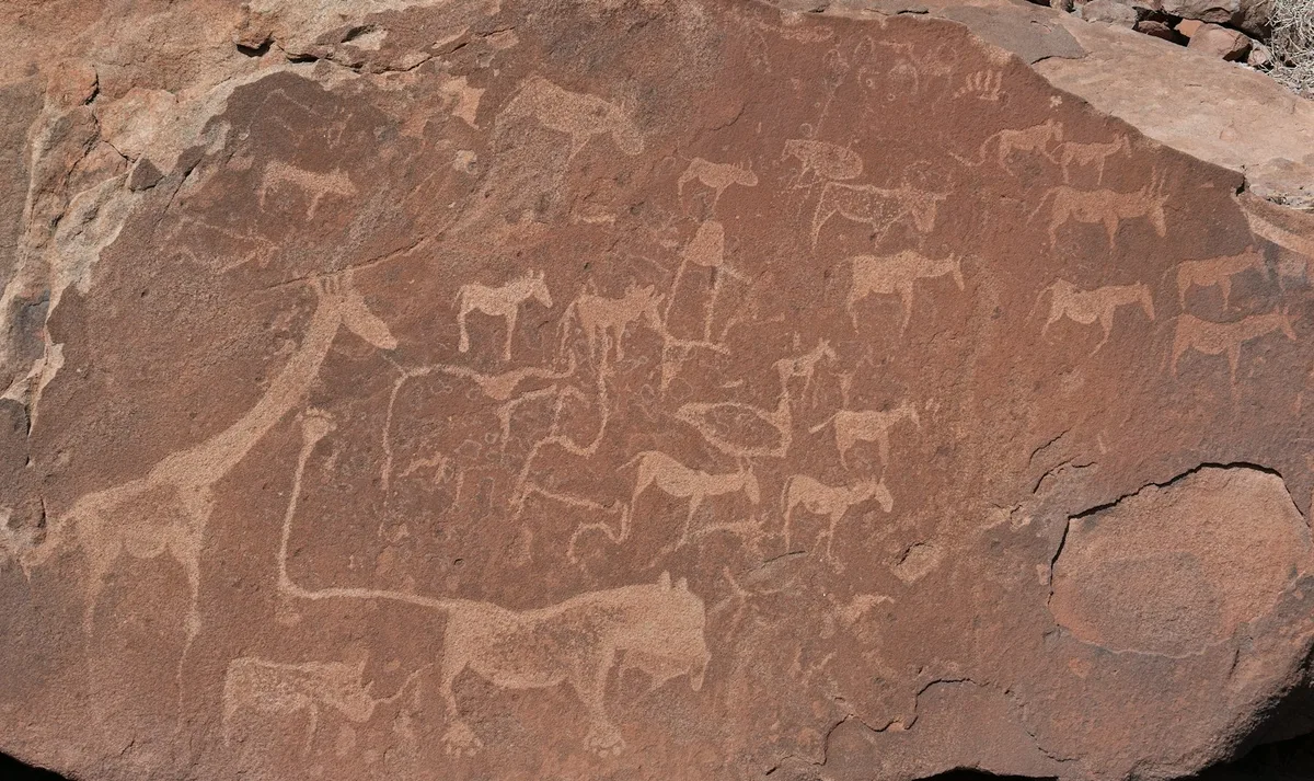
A UNESCO World Heritage rock art site in Damaraland with one of Africa's largest concentrations of petroglyphs — engravings dated by some estimates to as much as 6,000 years old of giraffes, rhinos and other wildlife made by San hunter-gatherers.
 Multi-Day Tours
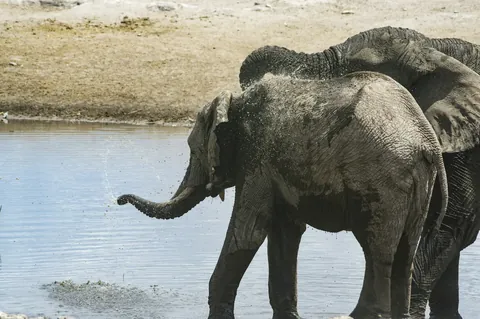
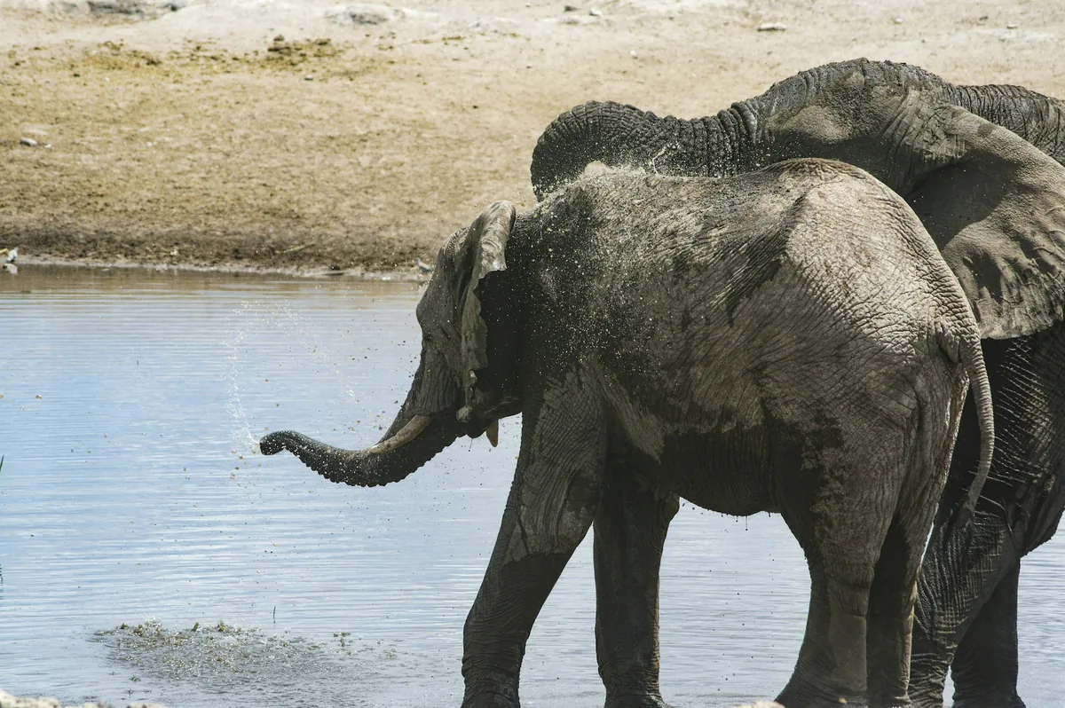
A 10-day Namibia circuit from the AfriCat big-cat sanctuary at Okonjima through Etosha National Park's game drives and the desert-adapted elephants of Damaraland to coastal Swakopmund.
 Multi-Day Tours
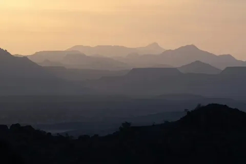
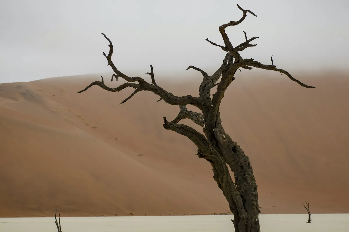
A 14-day private family circuit from Windhoek through the Kalahari and the red dunes of Sossusvlei to Swakopmund, the Himba villages of Kaokoland, and the game drives of Etosha National Park.
 Multi-Day Tours
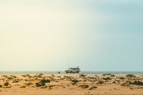
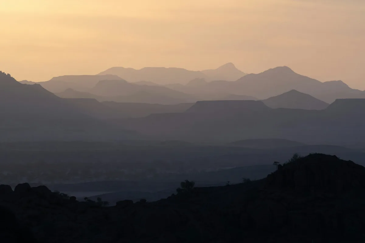
A 12-day private route from the red dunes of Sossusvlei along the Skeleton Coast to Swakopmund, the desert landscapes of Damaraland, and Etosha National Park's east and south, ending at the AfriCat Foundation.
 Multi-Day Tours
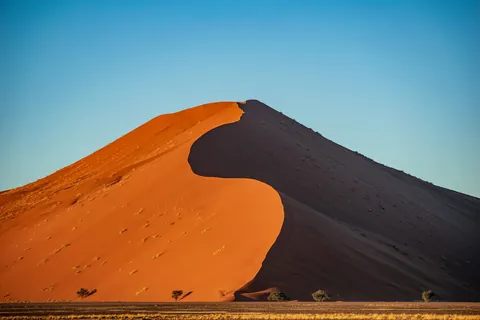
A 15-day Namibia journey combining classic sights — Sossusvlei, the Skeleton Coast, Damaraland, and Etosha — with overnight hiking trails through the NamibRand Nature Reserve and remote Palmwag Concession.
Visitor guide
Twyfelfontein is a valley in Damaraland, northwestern Namibia, with one of the largest concentrations of rock engravings in Africa. UNESCO inscribed it as a World Heritage Site in 2007, recognising a long record of ritual practice by hunter-gatherer peoples around a rare spring.
Twyfelfontein is an Afrikaans name meaning uncertain spring. Its official name, ǀUi-ǁAis, comes from the Damara/Nama language and means jumping waterhole. The Afrikaans name came from farmer David Levin, who rediscovered the spring in 1947 and struggled to get enough water for his family and herd. A friend teased him as David Twyfelfontein, and when Levin registered his farm in 1948 he kept the name. Strictly, twyfel is better rendered as questionable or uncertain than as doubtful.
According to Wikipedia, the valley was first inhabited about 6,000 years ago by Stone Age hunter-gatherers of the Wilton culture, who made most of the engravings and probably all of the paintings. Roughly 2,000 to 2,500 years ago, Khoikhoi herders occupied the valley. The engravings were cut through a dark, hard surface layer called desert varnish, exposing lighter rock beneath. The site contains more than 5,000 individual depictions, and the art falls into three groups: images of animals, humans and fantasy creatures; geometric patterns such as pecked circles and rows of dots; and everyday marks such as grinding hollows, board games and gong stones. Rhinoceroses, elephants, ostriches, giraffes and zebras all appear, along with human and animal footprints.
Dating is uncertain. Radiocarbon dates range from about 5,850 to 180 years before present, and the British Museum suggests that engraving styles range from about 6,000 to 1,000 years old.
The Lion Man is among the best-known images. It shows a lion with human toes and a long, kinked tail ending in a six-toed pugmark, a combination that suggests transformation between humans and animals and is often linked to shamanist ritual. The Dancing Kudu is a fantasy figure with an antelope's body and a human torso and head, apparently holding a bow. UNESCO describes six painted rock shelters with red-ochre human figures at the site, which is notable because paintings and engravings rarely occur together.
The topographer Reinhard Maack reported engravings in the area in 1921, and Ernst Rudolph Scherz began systematic study in 1950, describing more than 2,500 engravings on 212 sandstone slabs. UNESCO says the core area was designated a national monument in 1948 (Wikipedia gives 1952), but it went unguarded until 1986, and many engravings were damaged or removed in the interim. Excavations have produced stone tools, ostrich eggshell beads, charcoal, bone and undecorated pottery, while food remains point mainly to small antelope, hyrax and lizards, which supports the idea that the engravings had ritual rather than purely food-related purposes.
UNESCO inscribed Twyfelfontein in 2007 under cultural criteria iii and v, with a core area of 57.4 hectares. The valley sits beneath a sandstone table mountain, and groundwater held in an aquifer above impermeable shale sustains the spring in a landscape that receives less than 150 millimetres of rain a year. Nearby sights include the Organ Pipes, Burnt Mountain and the Petrified Forest. Visiting is usually done on foot along marked routes with a local guide, and a private tour with a driver fits well with the long distances in Damaraland.
See every tour and attraction we cover in Namibia.