TorontoOntario · 36 tours
 Niagara FallsOntario · 25 tours
 New York CityNew York · 30 tours
 Las VegasNevada · 8 tours
 San FranciscoCalifornia · 16 tours
 VancouverBritish Columbia · 17 tours
 DubaiUAE · 54 tours
 Abu DhabiUAE · 5 tours
 Buenos AiresArgentina · 23 tours
 AthensGreece · 31 tours
 AucklandNew Zealand · 38 tours
 CancunMexico · 54 tours
No destinations match “”. Try searching all tours instead — that search understands full questions, not just place names.
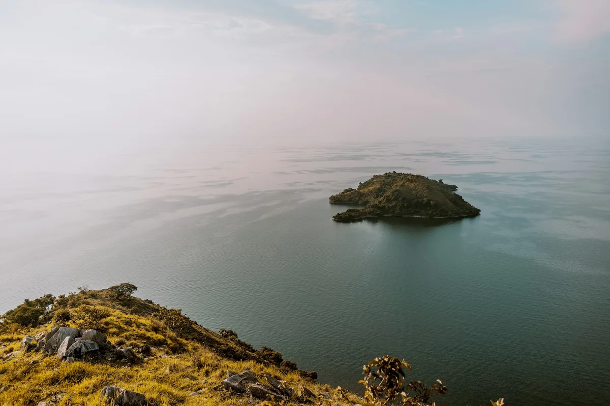
One of Africa's Great Lakes, forming much of Rwanda's western border with the DR Congo, its shoreline of terraced hills and small fishing villages a common stop between Kigali and Volcanoes National Park.
Visitor guide
Lake Kivu is one of the African Great Lakes, lying on the border between Rwanda and the Democratic Republic of the Congo in the Albertine Rift. Its Rwandan shore, with terraced hills and small lakeside towns, is a common stop between Kigali and the western highlands.
According to Wikipedia, Lake Kivu has a surface area of about 2,700 square kilometres and sits 1,460 metres above sea level. Its maximum depth is about 475 metres, with a mean depth of around 220 metres, though the infobox gives slightly different figures. Dimensions are also given inconsistently, with the text and infobox disagreeing on its length and width. The lake drains south through the Ruzizi River into Lake Tanganyika. About 58 percent of its waters lie within Congolese borders. Idjwi, in the lake, is the tenth-largest island in a lake in the world.
Kivu lies in the Albertine Rift, the western branch of the East African Rift. Wikipedia explains that volcanic activity roughly 13,000 to 9,000 years ago blocked its former northward outflow toward the White Nile, which redirected drainage south. The lake therefore owes its present shape to the rift and nearby volcanoes.
The lake is meromictic, meaning its deep water does not mix with the surface layer. It is one of only three known lakes, with Lake Nyos and Lake Monoun, that can undergo limnic eruptions that release dissolved carbon dioxide. Wikipedia estimates reserves of about 65 cubic kilometres of methane and 256 cubic kilometres of carbon dioxide, and notes that about two million people in the basin would be at risk from a major overturn. Methane extraction is an active industry: small-scale extraction ran a brewery in Gisenyi until 2004, and the KivuWatt project began large-scale work in 2011. Scientists monitor the lake closely.
The lake has 28 described fish species, four of them introduced. The Lake Tanganyika sardine, introduced in 1959, is now economically important. Its waters are low in nutrients, with diatoms dominating in the dry season and cyanobacteria in the rainy season. Four freshwater crab species live there, two of them endemic. Wikipedia reports that illegal fishing is a concern and fish production fell from 24,199 tonnes in 2017 to 2018 to 16,194 tonnes in 2019 to 2020.
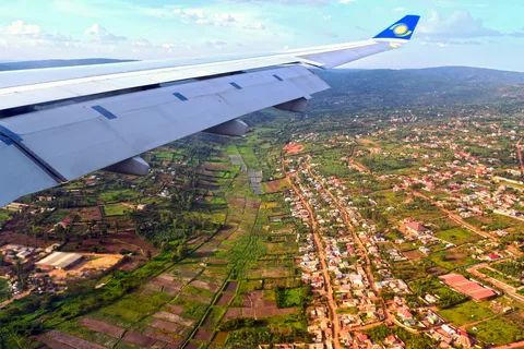
Lakeside settlements on the Rwandan side include Gisenyi, Kibuye and Cyangugu, while Bukavu, Goma, Kabare, Kalehe and Sake lie on the Congolese side. The Rwandan shore is hilly and often described as scenic, with fishing villages and terraced slopes, but the Wikipedia article itself focuses on the lake's physical features.
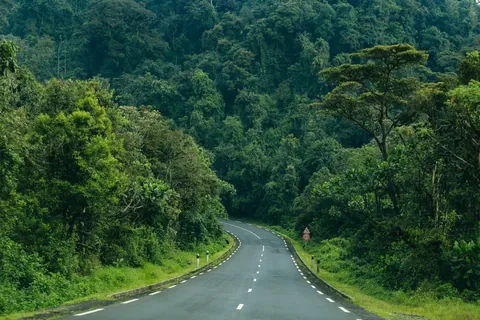
The Rwandan shore is typically reached by road from Kigali or Musanze, and travellers often use the lake as a place to rest between gorilla or forest trips. A private guided visit with a driver suits the winding hill roads and allows stops at viewpoints and lakeside towns. Itineraries on this page's scope cover the Rwandan side of the lake.
See every tour and attraction we cover in Rwanda.