TorontoOntario · 36 tours
 Niagara FallsOntario · 25 tours
 New York CityNew York · 30 tours
 Las VegasNevada · 8 tours
 San FranciscoCalifornia · 16 tours
 VancouverBritish Columbia · 17 tours
 DubaiUAE · 54 tours
 Abu DhabiUAE · 5 tours
 Buenos AiresArgentina · 23 tours
 AthensGreece · 31 tours
 AucklandNew Zealand · 38 tours
 CancunMexico · 54 tours
No destinations match “”. Try searching all tours instead — that search understands full questions, not just place names.
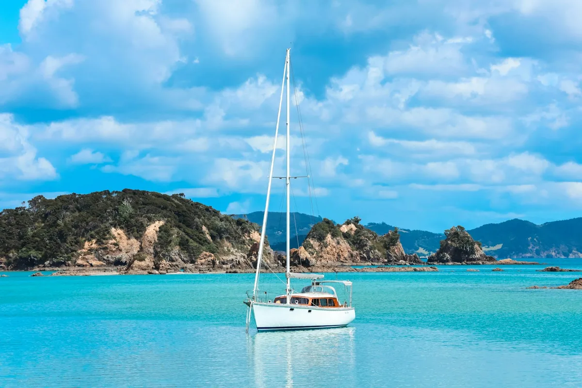
A subtropical stretch of Northland coastline with 144 islands, over 800 km of coastline, and a long history as a big-game fishing and sailing destination, plus year-round dolphin sightings.
Visitor guide
The Bay of Islands, known in Maori as Te Pewhairangi, is a drowned-valley harbour on the east coast of the Far North District of New Zealand's North Island. It contains 144 islands and is noted for sailing, fishing, wildlife and its place in early Maori and European history.
According to Wikipedia, the bay is irregularly shaped, about 16 km wide and covers roughly 260 square kilometres. It is a ria, a drowned valley system, and it forms a natural harbour. Its largest island is Urupukapuka, and others include Moturua, Motuarohia and Motupapa, also called Cocked Hat Island. The Purerua Peninsula separates the north-western part of the bay from the Pacific, and the Cape Brett Peninsula extends about 10 km into the ocean at the eastern end. Kerikeri is the largest town, followed by Paihia, with Russell on a short peninsula to the south-east. A 2014 study of bottlenose dolphins in the bay found their habitat use had shifted over ten years.
The bay has several Maori names, including Te Pewhairangi, Ipipiri and Tokerau. Wikipedia says that around 700 years ago the great migration canoe Mataatua was sailed to the bay by Puhi, an ancestor of Ngapuhi, today the country's largest iwi. Maori settled across the bay and its islands, and several places here later played national roles: Okiato was the first capital, Waitangi is where the Treaty of Waitangi was signed in 1840, and Kerikeri was the site of the country's first permanent mission station. The chief Hone Heke, born in the bay, repeatedly cut down the flagpole at Kororareka (Russell) to start the Flagstaff War.
Captain James Cook named the bay on 27 November 1769 during his first voyage, after landing on Motuarohia Island. Wikipedia describes it as the first part of New Zealand settled by Europeans. Whalers arrived near the end of the 18th century and the first missionaries in 1814. Russell, formerly Kororareka, is described as the first permanent European settlement in the country. At Kerikeri, Kemp House is described as the oldest surviving wooden building in New Zealand and the Stone Store as the oldest stone building, with construction of the latter starting on 19 April 1832. Charles Darwin visited in December 1835 aboard HMS Beagle.
The bay has been known internationally for big-game fishing since the American author Zane Grey promoted it in the 1930s, and it remains one of the country's most popular fishing and sailing areas. A fast boat to the Hole in the Rock, a famous rock formation off Piercy Island, was introduced in 2019. The historic Cream Trip, a boat route that once collected cream from island farms, is now followed by a modern catamaran, and the Bay Belle ferry still runs between Paihia and Russell.
Visits to the bay can combine boat time with the Waitangi area and the heritage sites of Russell and Kerikeri, and a private guided trip with a driver is a practical way to link them.
See every tour and attraction we cover in New Zealand.