TorontoOntario · 36 tours
 Niagara FallsOntario · 25 tours
 New York CityNew York · 30 tours
 Las VegasNevada · 8 tours
 San FranciscoCalifornia · 16 tours
 VancouverBritish Columbia · 17 tours
 DubaiUAE · 54 tours
 Abu DhabiUAE · 5 tours
 Buenos AiresArgentina · 23 tours
 AthensGreece · 31 tours
 AucklandNew Zealand · 38 tours
 CancunMexico · 54 tours
No destinations match “”. Try searching all tours instead — that search understands full questions, not just place names.
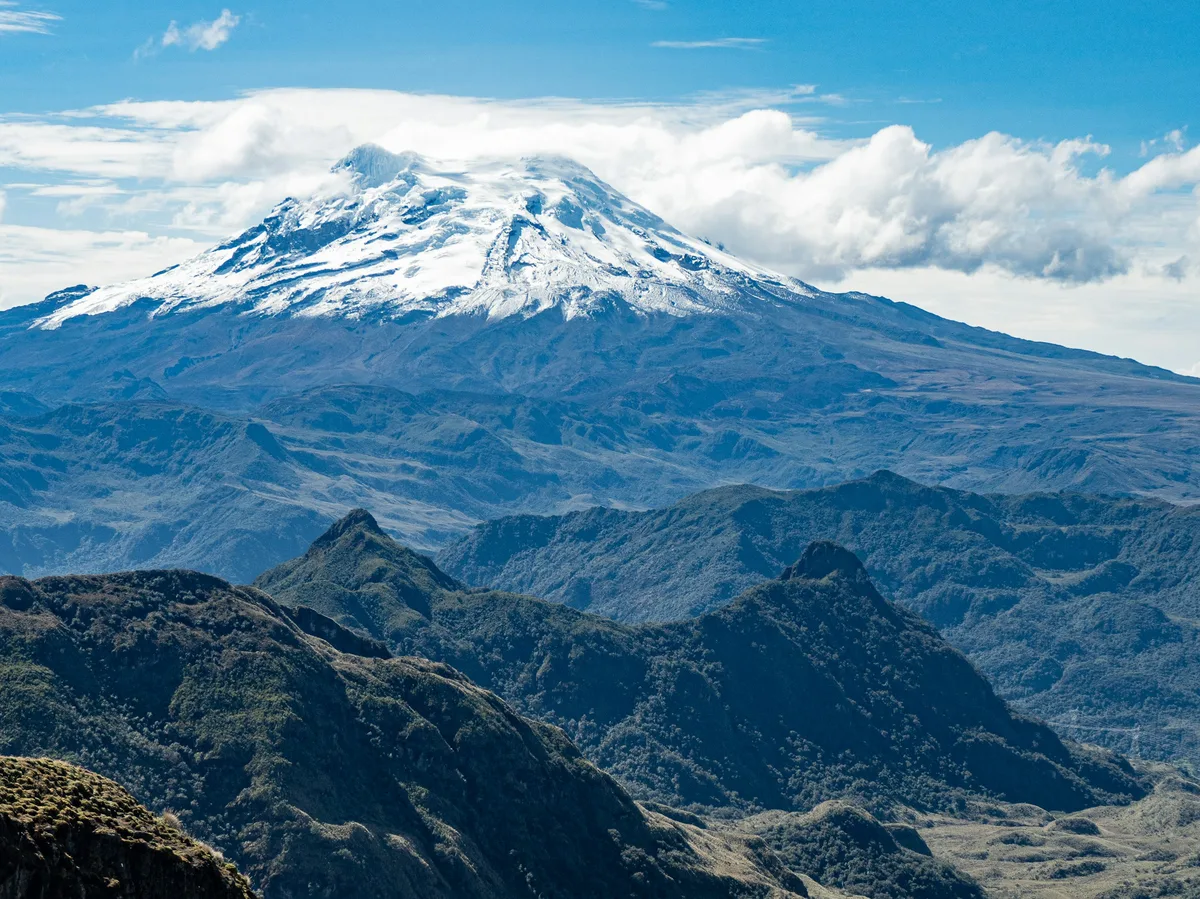
The dramatic stretch of the Ecuadorian Andes between Quito and Riobamba, flanked by a chain of snow-capped peaks including Cotopaxi and Chimborazo — the country's highest mountain and the point on Earth's surface farthest from its core.
 Multi-Day Tours
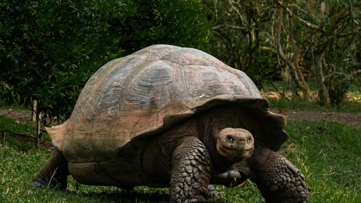
A sweeping 19-day route through Ecuador's highlands, the Amazon rainforest of Yasuni, the colonial cities of the Andes, and a five-island Galapagos finale.
 Multi-Day Tours
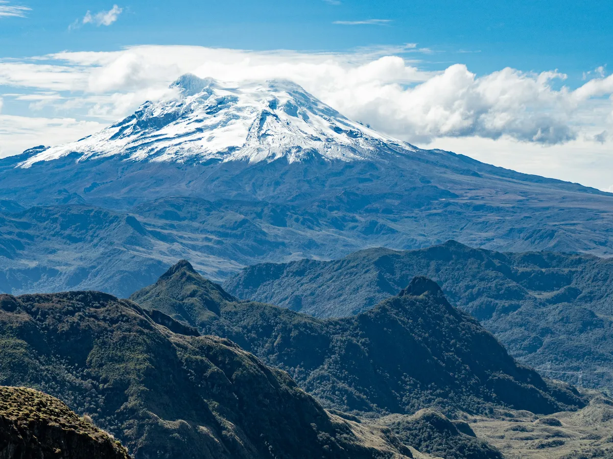
The full picture of Ecuador over 31 days — cloud forest, indigenous markets, Cotopaxi, Quilotoa, Cuenca, the Yasuni Amazon, and a ten-day island-hopping finale across San Cristóbal, Isabela, and Santa Cruz.
 Multi-Day Tours
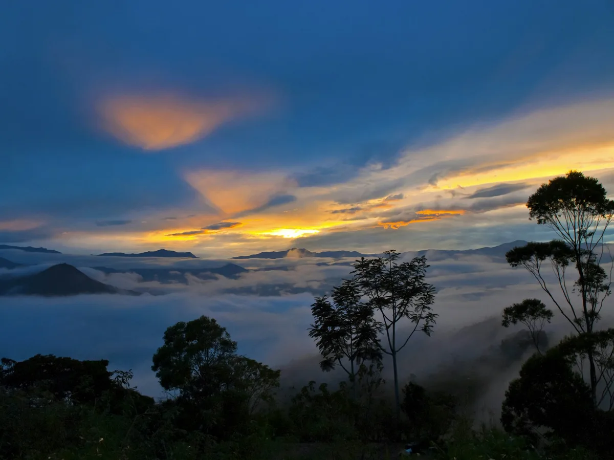
A sweeping 26-day mainland circuit — Amazon, cloud forest, Andean markets, Cotopaxi, and colonial cities — followed by six days island-hopping San Cristóbal, Isabela, and Santa Cruz in the Galapagos.
Visitor guide
The Avenue of the Volcanoes is the name given to the corridor of the Ecuadorian Andes south of Quito, where two parallel mountain ranges are crowded with snow-capped and active volcanoes. Peaks such as Cotopaxi and Chimborazo are the best known, and the route is closely tied to the explorer Alexander von Humboldt, who is credited with giving it its name.
Travel writers commonly credit Alexander von Humboldt with calling the area between Quito and Cuenca the Avenue of the Volcanoes, and the name stuck. He travelled through the Ecuadorian Andes in 1802 with the botanist Aimé Bonpland, and the Pan-American Highway largely follows the same corridor today. Sources disagree about the exact extent of the route and the number of volcanoes: some describe a stretch of roughly 300 kilometres or more with dozens of peaks, while others restrict it to the section between Quito and Riobamba. The figures depend on how the route is defined, so they are best treated as approximate.
Cotopaxi rises to 5,897 metres and is the second-highest summit in Ecuador. According to Wikipedia it is an active stratovolcano with a nearly symmetrical cone about 23 kilometres wide at its base and one of the few equatorial glaciers in the world. Humboldt attempted the mountain in 1802 and reached roughly 4,500 metres; Wilhelm Reiss and Ángel Escobar made the first recorded ascent in 1872. The mountain is often cloud-covered, so a clear view is something of a prize. It is the centrepiece of Cotopaxi National Park, where the páramo grassland shelters Andean birds and wild horses.
Chimborazo is Ecuador's highest mountain at 6,263 metres. Because the Earth bulges at the equator, its summit is widely reported as the point on the planet's surface farthest from the Earth's centre, about 2 kilometres farther than the summit of Everest. Humboldt, Bonpland and Carlos Montúfar climbed to roughly 5,900 to 6,100 metres in June 1802 (sources differ), a height no European had recorded at the time, before altitude sickness turned them back. Edward Whymper made the first ascent on 4 January 1880. The surrounding Chimborazo reserve was set up to protect vicuñas and other Andean camelids, and local tradition knows the peak as Taita, meaning Father.
Further south, the town of Baños de Agua Santa sits at the foot of Tungurahua, an active volcano, and is known for its hot springs and as a gateway to the Amazon basin. Other towns along the corridor, such as Latacunga and Riobamba, serve as bases for exploring the highland landscape of farmland, indigenous villages and haciendas. One hacienda near Cotopaxi dating to 1695 is described in travel writing as the place where Humboldt sketched the volcano.
Because the peaks are frequently hidden by cloud, early mornings and drier months tend to give the clearest views, though weather in the high Andes is unpredictable. The route is a long day or several days of driving, hiking and stops in villages, which suits a private guided journey with a driver who can adjust the pace to the weather and to what is visible.
See every tour and attraction we cover in Ecuador & Galapagos.